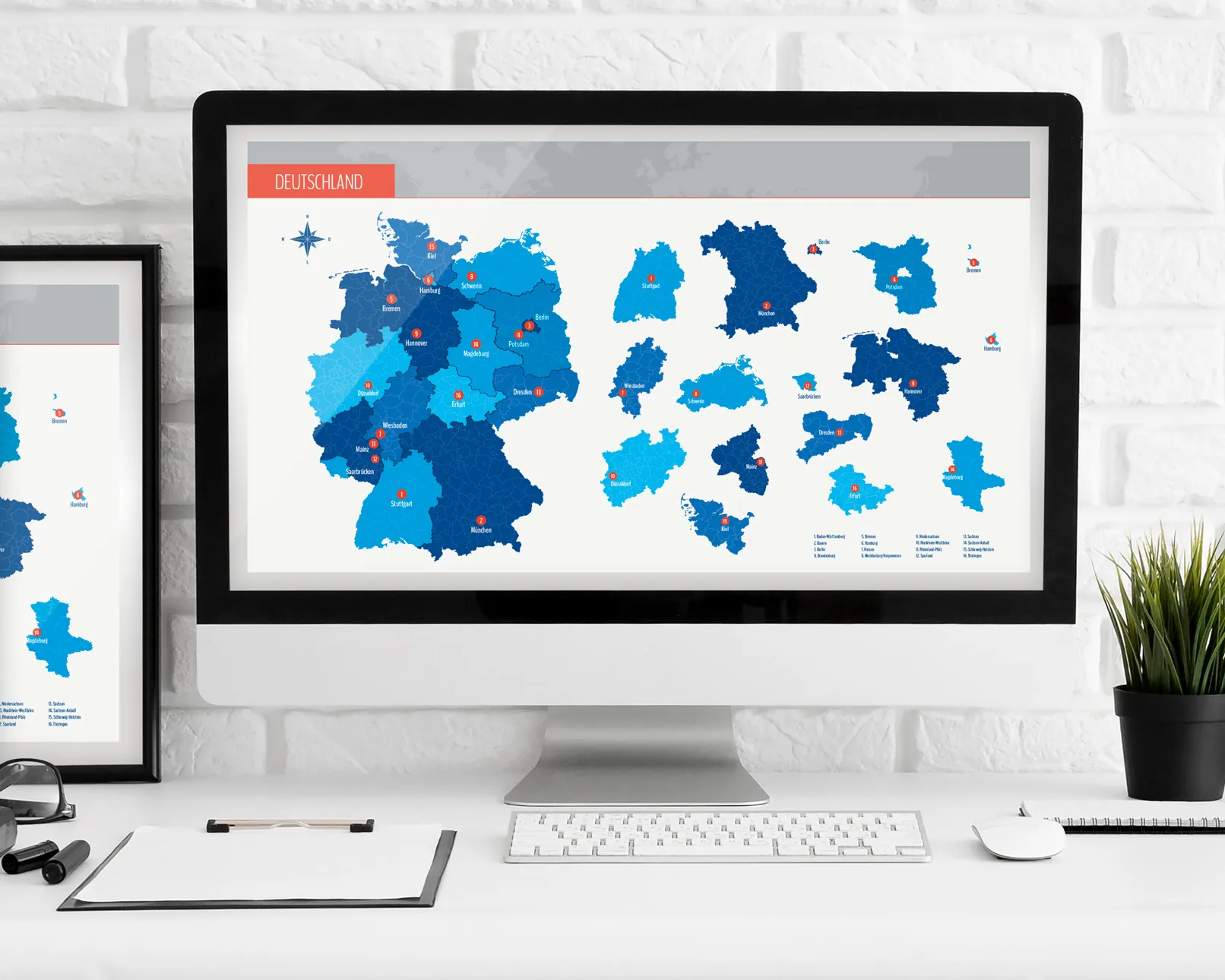
Are you looking for a detailed and free map of Germany with all federal states? Then you've come to the right place! Whether it's for school, professional purposes, or simply out of interest - a good map can always be useful. In this post, we provide you with a high-quality map of Germany that you can easily and freely download. Perfect for getting an overview of the different federal states or for projects and presentations. So, what are you waiting for? Get your free map of Germany and discover the diversity of our country!
Table of Contents
Why a Map of Germany?
A map of Germany can be of great use in many areas of life. Whether in school, at work, or simply out of personal interest - the possibilities are diverse. In this section, we want to highlight why a map of Germany is so useful and in which situations it can be particularly helpful.
Use in School
In school, a map of Germany is an indispensable teaching tool. Students learn about the geographical features of their country, explore the different federal states and their capitals, and gain a better understanding of how Germany is structured. Whether in geography classes or in political education sessions - a map supports comprehension and makes theoretical knowledge more tangible. It helps to promote spatial thinking and better understand geographical relationships.
Useful in the Workplace
Also in the professional world, a map of Germany can be a valuable aid. Especially in professions related to geography, logistics, or sales, a good overview of maps is indispensable. Sales representatives can better plan their customers and sales territories, logistics companies optimize their routes, and strategists have a clear overview of regional markets and resource distribution. An up-to-date and detailed map of Germany helps in making informed decisions and working more efficiently.
Planning and Leisure Activities
Privately, a map of Germany can also be very useful. Are you planning a road trip through Germany or do you simply want to learn more about the different regions and sights? With a map, you always have an overview and can better plan your travels. You can mark interesting destinations, set travel routes, and learn about the geographical features of the regions.
Interest in Geography
Lastly, a map of Germany is also interesting for those who are simply passionate about geography. It's exciting to discover the different landscapes, rivers, mountains, and cities. A map provides the opportunity to learn more about the country's structure and explore new places that you might not know yet.
Benefits of a Free Map of Germany

A free map of Germany offers numerous advantages, making it an indispensable tool for various applications. In this section, we take a look at the key benefits and why it's worth downloading such a map.
Cost Savings
The most obvious advantage of a free map of Germany is cost savings. Geographic maps in printed or digital form can be expensive, especially if they are detailed and up-to-date. By downloading it for free, you have access to high-quality map materials without having to spend money. This is particularly useful for students, students or small businesses with limited budgets.
Easy Accessibility
A free map of Germany is immediately and easily accessible. You can download it directly and save it on your computer, tablet, or smartphone. This allows you to access the map anytime and anywhere, whether for quick information on the go or for preparing a presentation or project.
Up-to-Date Information
Many free map resources offer regularly updated content. This means that you'll always stay up-to-date on geographic changes, new infrastructures, or administrative adjustments. An up-to-date map is crucial to obtaining accurate and reliable information.
Diverse Usage Options
A free map of Germany can be used for a variety of purposes. Whether for school projects, professional planning, or personal interests - the applications are diverse. You can print the map, insert it into digital presentations, or use it as a basis for travel and route planning. The flexibility that a digital map offers makes it an extremely practical tool.
Environmentally Friendly
Digital maps are environmentally friendly as they do not consume physical resources and do not generate waste. By avoiding printed maps, you contribute to saving paper and protecting the environment. This is a small but significant step towards sustainability.
Customizability
A digital map of Germany offers the advantage that it can be easily customized to individual needs. You can add markers, insert notes, or highlight specific areas that are relevant to your project or planning. This adaptability significantly increases the practical value of the map.
Availability in Various Formats
Free maps are often available in various formats, whether as PDF, JPEG, or in interactive online versions. This allows you to choose the format that best suits your requirements and to use the map in different applications.
Support for Educational Projects
Finally, free maps of Germany are a great resource for educational projects. Teachers and students can use them to create teaching materials, deepen their geographical knowledge, and design interactive learning environments. The availability of free map materials promotes learning and curiosity about geographical topics.
Here you can download the map of Germany

Downloading our free map of Germany is easy and quick. The map is available in PNG format and can be easily opened and inserted into various programs such as Word, OpenOffice, Photoshop, Excel, and many others. Follow these simple steps to download your map:
Simply click on the following button to download the free map of Germany in PNG format:
Save the file
After clicking on the download link, select the location on your computer or mobile device where you want to store the file. It is useful to create a specific folder for geographic materials so that you can easily find the map at any time.
Open and use the file
Open the downloaded ZIP file and extract all files. Then you can open or import the PNG file with your preferred program. The map can be directly inserted and edited in applications like Word, OpenOffice, Photoshop, Excel, and many others. Check the resolution and details of the map to ensure it meets your requirements.
Advanced options: More formats and features
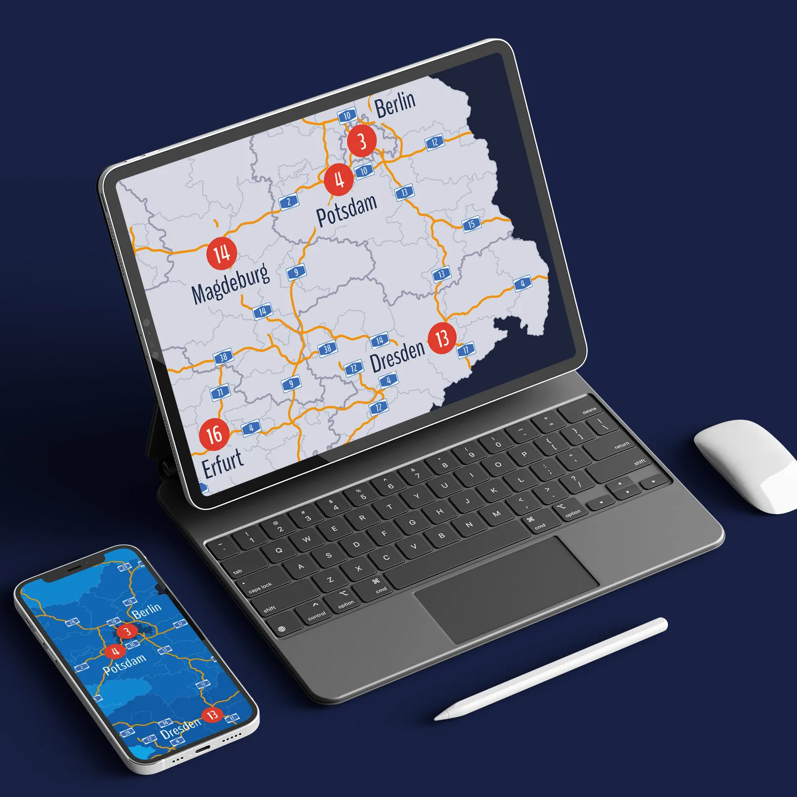
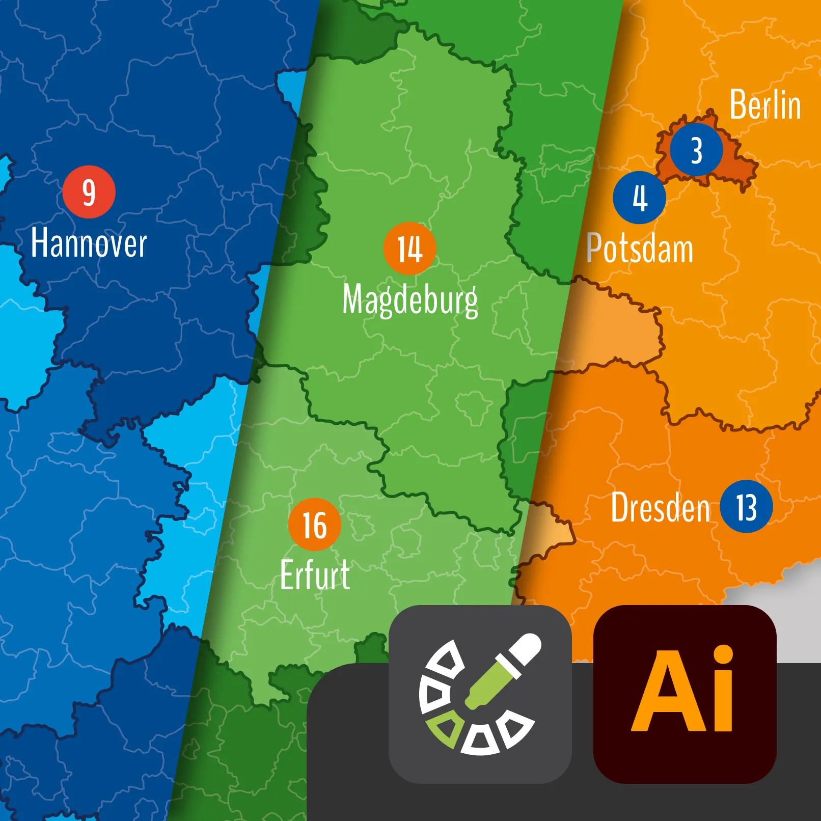
If you want to get more out of your map of Germany, we offer a more comprehensive product. Our package "Germany Map with States in Vector Quality" contains the map in various formats, including SVG, which is suitable for lossless enlargement. These maps are available in various styles, such as with outlines or colored areas. This is especially useful for professional projects and detailed presentations. Additionally, the PNG files are provided in a much higher resolution in case you want to print the maps, which is crucial.
Learn more and access additional formats and features here: Germany Map with States in Vector Quality
Tips for using the map of Germany

A map of Germany offers numerous possibilities for various applications. Here are some practical tips on how you can make the most out of the map, whether for school, work, or leisure activities.
School and Education
- Geography lessons: Use the map to teach students about the states, their capitals, and geographical features. Highlight important cities, rivers, and mountains to enhance understanding.
- Projects and presentations: Incorporate the map into school projects or presentations. This helps visually present geographical data and make the information more accessible.
- Quizzes and games: Organize quizzes and educational games where students have to identify the states and their capitals. This makes learning interactive and fun.
Professional Use
- Business Planning and Sales: Use the map to plan and manage sales territories. Mark locations of customers or branches to get a better overview.
- Presentations: Use the map in company presentations to illustrate geographic markets or business strategies. This can be especially useful for presenting complex information clearly and understandably.
- Logistics and Transport: Plan transport and logistics routes more efficiently by using the map to visualize distances and key traffic routes.
Leisure and Travel
- Travel Planning: Plan your trips through Germany using the map. Mark landmarks, routes, and travel destinations to organize your trip effectively.
- Hiking and Outdoor Activities: Use the map to explore hiking trails and nature parks. Mark starting points and interesting locations you wish to visit.
- Education and Interest: Use the map to learn more about the different regions of Germany. Discover the cultural and geographic differences of the federal states.
Digital Applications
- Integration into Documents and Presentations: Easily insert the PNG map into various programs like Word, OpenOffice, Photoshop, and Excel. This enables you to use the map in digital documents, presentations, and graphics.
- Editing and Customization: Edit the map in image editing programs like Photoshop to highlight specific areas or add additional information. This is especially useful for customized projects.
Creative Use
- Design and Art Projects: Use the map as a base for creative projects such as posters, flyers, or artistic representations. You can customize and adjust the map's colors individually.
- Decoration: Print out the map and use it as a decorative element in your home or office. A well-designed map can be an interesting conversation piece.
Further Education and Workshops
- Seminars and Workshops: Use the map in seminars and workshops to discuss geographic topics or conduct interactive exercises. This can enhance participant engagement and understanding.
- Online Courses: Incorporate the map into online courses or e-learning platforms to visually represent geographic content and support the learning process.
Conclusion
The free Germany map in PNG format offers you a variety of applications. Whether in school, at work, or for personal use, the map is a versatile tool that helps you present geographical information clearly and understandably. Use our tips to make the most of your map and effectively use it in various areas. Download your map today and discover its diverse applications! However, if you need the map in higher resolution or even as a vector file, feel free to check out our related product: Germany Map with Federal States in Vector Quality

