Map of Baden-Württemberg with districts
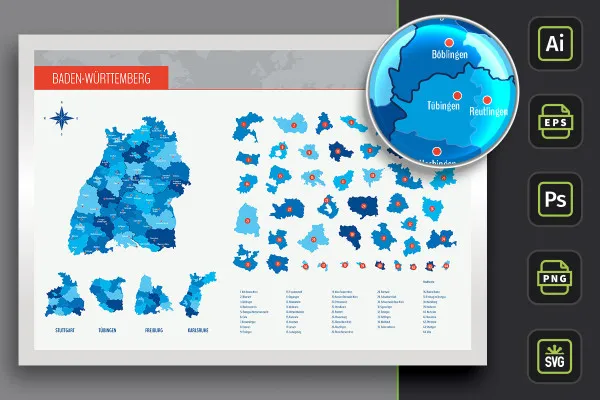
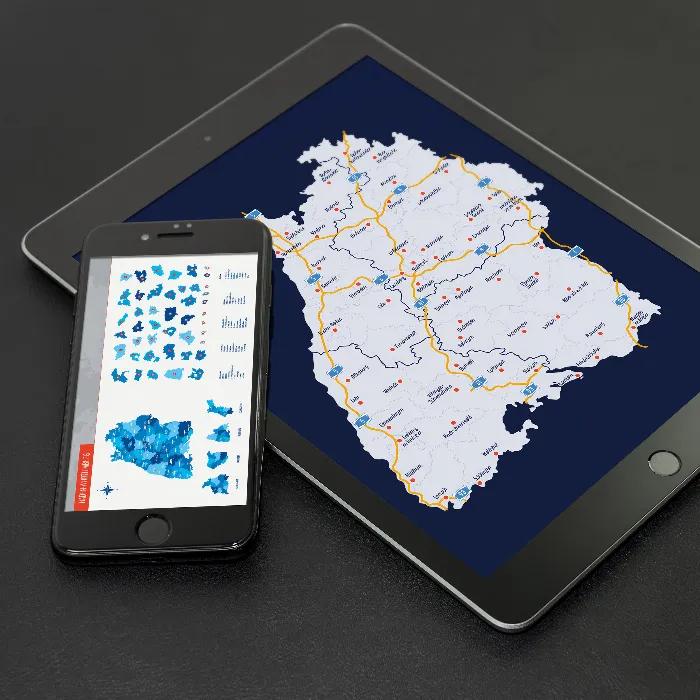
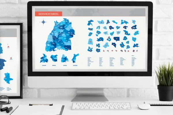
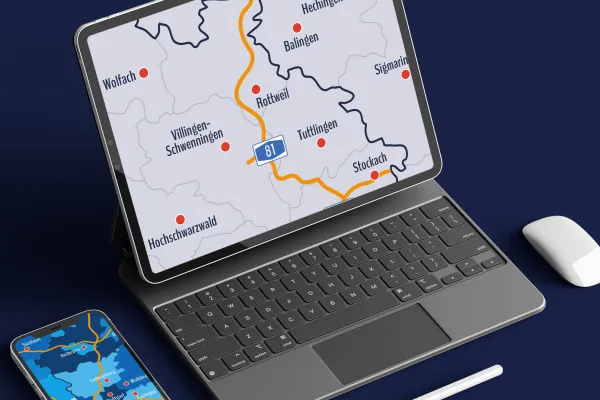
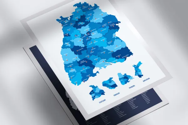
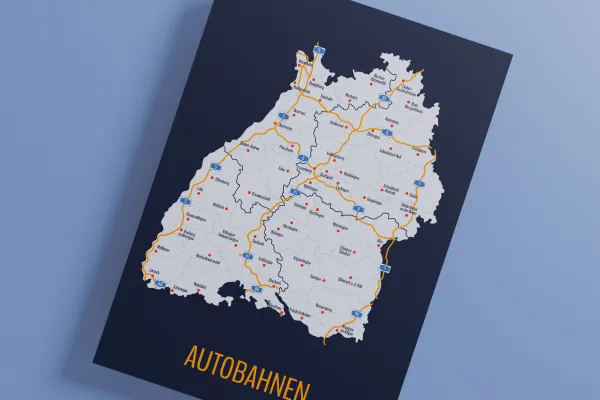
Place the map of Baden-Württemberg on your website or use it in brochures and flyers. If required, you can display highways and cities and access all 35 rural districts and 9 urban districts individually. Work with your program! You will receive freely scalable vector files (e.g. for Illustrator), templates in Photoshop format and PNG files that can be used in common graphics programs.
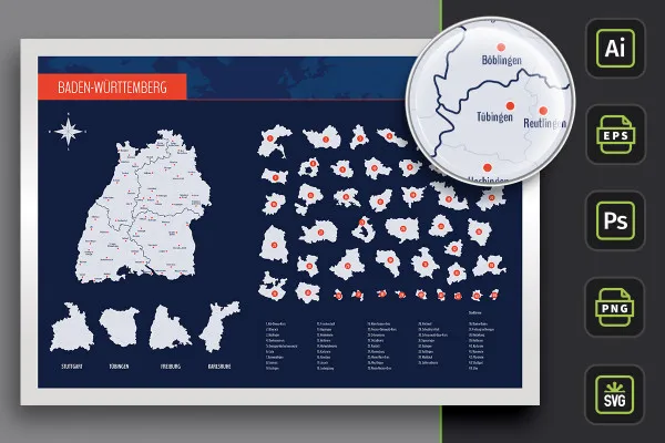
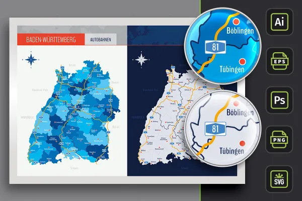
- Map of Baden-Württemberg with maps of the 35 rural districts and 9 urban districts as well as highways
- With over 50 cities that you can show and hide individually
- Two representations per map: with borders as contours and with varying colored areas, color customizable
- Vector-based, scalable maps in the formats AI for Illustrator, EPS (e.g. for Affinity Designer) and SVG
- PSD files for use in Photoshop and PNG files for common editing programs
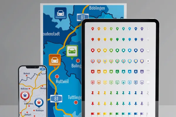
- Bonus: 9 icons in 10 different colors to indicate locations on maps
Whenever you need it - with this package, the map of the federal state of Baden-Württemberg is always at your fingertips.
- Usable with:
- content:
99
Assets/Templates
- Licence: private and commercial Rights of use
Examples of use
Map of Baden-Württemberg with districts and cities for download
Bonus: Icons for marking
Details of the content
On the map: Baden-Württemberg with cities, towns and districts
Use the map of Baden-Württemberg in presentations, on websites and for print products, for infographics, as an illustration or to display a location. With the maps of the cities and districts, which are also included separately, you can even quickly and easily limit your presentations to the corresponding region. Incidentally, we also provide maps for the world, Europe, Germany, Austria and Switzerland.
Baden-Württemberg in a modern design: the contents of the package
The map of Baden-Württemberg has been prepared for you in three versions. You can use the modern designs directly:
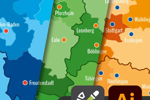
- Variant 1 shows Baden-Württemberg with all city and county districts, with their areas set off from each other by different colors.
- Variant 2 relies on monochrome (in this case light gray) areas. Urban and rural districts are represented by boundary lines.
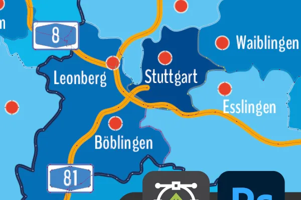
- Variant 3 offers you both designs again, in which the highways of Baden-Württemberg have also been drawn in.
Alternatively, you can of course adjust the colors according to your wishes. For example, with just a few clicks you can highlight the district of Esslingen in a different color. The areas of the urban and rural districts are also available to you individually . An alphabetically sorted list has been included so that you can quickly find the region you are looking for. In addition, 57 cities are displayed, which you can show and hide individually in programs such as Photoshop or Illustrator.
TIP: You can also find more modern location icons for indicating locations on maps.
Freely scalable and for different programs - maps in the right format
For each of the three variants, you will receive files for use in different programs. This means you can work with the exact software you already use:
Use the AI files for Illustrator and the EPS files for all common vector programs such as Affinity Designer. The big advantage here is that you can scale the maps to any size without any loss of quality. For editing in Photoshop, you get specially prepared PSD files. SVG files are also on board!
Probably the most important format for all those who don't have Illustrator, a vector program or Photoshop: PNG. The maps of Baden-Württemberg, the cities and districts are in this format on a transparent background. You can use these files in common graphics programs or in PowerPoint, for example.
All urban and rural districts can be used individually
In addition to the combined map of Baden-Württemberg, you can also select the maps of all city and county districts individually and use them for your own purposes. You can also change the color of the state areas. From A for Alb-Donau-Kreis to U for Ulm - get the maps for your region:
- Counties: Alb-Donau-Kreis, Biberach, Böblingen, Bodenseekreis, Breisgau-Hochschwarzwald, Calw, Emmendingen, Enzkreis, Esslingen, Freudenstadt, Göppingen, Heidenheim, Heilbronn, Hohenlohekreis, Karlsruhe, Konstanz, Lörrach, Ludwigsburg, Main-Tauber-Kreis, Neckar-Odenwald-Kreis, Ortenaukreis, Ostalbkreis, Rastatt, Ravensburg, Rems-Murr-Kreis, Reutlingen, Rhein-Neckar-Kreis, Rottweil, Schwäbisch Hall, Schwarzwald-Baar-Kreis, Sigmaringen, Tübingen, Tuttlingen, Waldshut, Zollernalbkreis
- Urban districts: Baden-Baden, Freiburg im Breisgau, Heidelberg, Heilbronn, Karlsruhe, Mannheim, Pforzheim, Stuttgart, Ulm
- Cities: Aalen, Bad Mergentheim, Baden-Baden, Balingen, Biberach a. d. Riß, Böblingen, Bruchsal, Buchen, Calw, Crailsheim, Ehingen, Emmendingen, Esslingen, Freiburg im Breisgau, Freudenstadt, Friedrichshafen, Göppingen, Hechingen, Heidelberg, Heidenheim an der Brenz, Heilbronn, Hochschwarzwald, Hockenheim, Karlsruhe, Konstanz, Künzelsau, Lahr, Leonberg, Lörrach, Ludwigsburg, Mannheim, Mosbach, Müllheim, Münsingen, Offenburg, Öhringen, Pforzheim, Ravensburg, Reutlingen, Rottweil, Säckingen, Saulgau, Schwäbisch Gmünd, Schwäbisch Hall, Sigmaringen, Sinsheim, Stockach, Stuttgart, Tauber-Bischofsheim, Tübingen, Tuttlingen, Ulm, Villingen-Schwenningen, Waiblingen, Waldshut, Wangen im Allgäu, Wolfach
Legal information
The areas of the federal state of Baden-Württemberg and the urban and rural districts have been sketched in for illustrative purposes and are primarily intended for design information purposes such as location markings etc. The maps make no claim to cartographic and topographical accuracy and may show slight deviations in scale.
Other users are also interested

25 icons in different, editable variants

For complete business equipment

Fully equipped from flyer to roll-up
Quickly create high-quality business equipment

Effectively create modern slides
How to build trust with customers

From the business card to the roll-up

With flyer, business card & Co.


