Map of Bavaria with counties
For location maps or illustrations: Access the map of Bavaria at any time. You will receive the maps of the federal state and all of its 71 districts and 25 independent cities, including a variant with highways. You can freely scale the vector files in Illustrator, among other things. You will also receive all content in PSD format for Photoshop, in PNG format for common graphics programs and as SVG files.
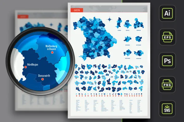
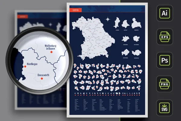
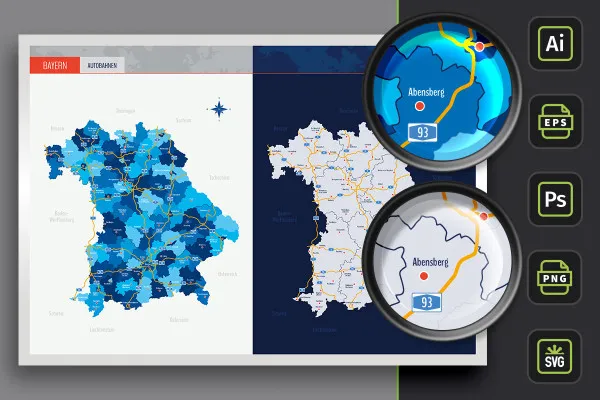
- Map of Bavaria with maps of the 71 administrative districts and 25 independent cities as well as highways
- With over 60 cities marked on the map, which you can show and hide individually
- Two designs per card: with borders as a contour and with varying colored areas, color customizable
- Vector-based, scalable maps (AI for Illustrator as well as EPS, e.g. for Affinity Designer, and SVG)
- PSD files for use in Photoshop and PNG files for common editing programs
- Bonus: 9 icons in 10 different colors to indicate locations on maps
For flyers and brochures, for the about us section of your website, for the roll-up at your next trade fair appearance: Bavaria fits easily into your designs.
- Usable with:
- content:
321
Assets/Templates
- Licence: private and commercial Rights of use
Examples of use
-
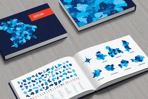 Open galleryDownload a fully editable map of Bavaria with rural and urban districts and over 60 cities.
 -
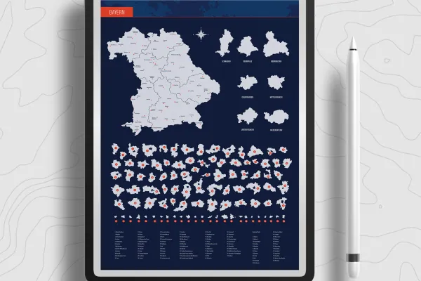 Open galleryUse the prepared designs directly or customize them as desired.
 -
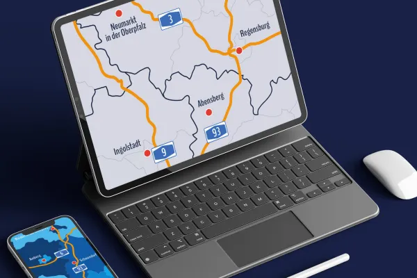 Open galleryShow the whole of Bavaria - or select exactly the region you want to address.
 -
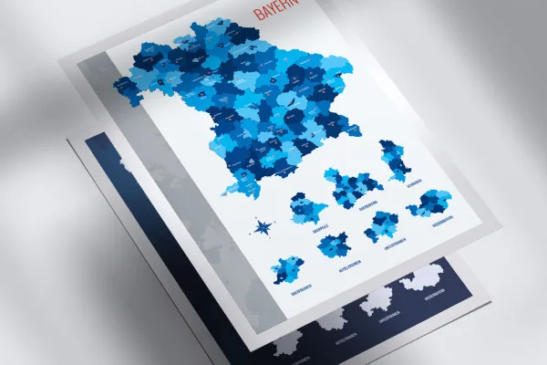 Open galleryYou can show and hide the cities individually.
 -
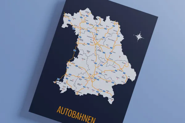 Open galleryYou want to display the highways? That is also easily possible.
 -
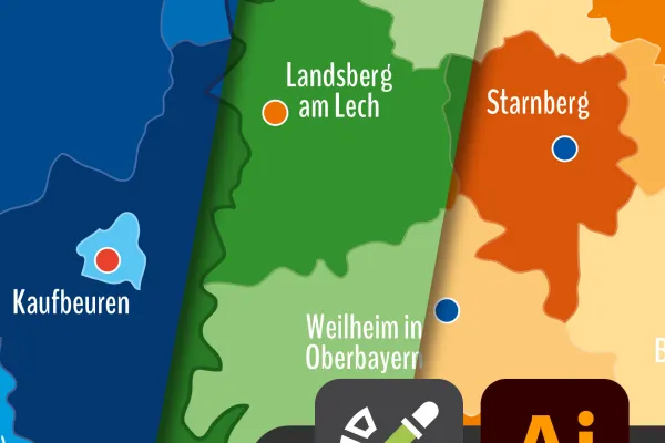 Open galleryIn Illustrator, you can easily change the colors using color swatches.
 -
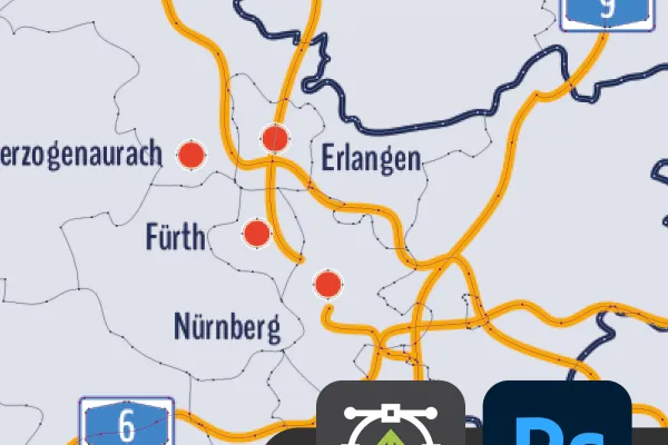 Open galleryThe maps of Bavaria also offer you the finest vector quality in Photoshop.
 -
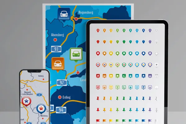 Open galleryIncluded are icons with which you can display locations.
Map of Bavaria with districts and cities for download
Bonus: Icons for marking
Details of the content
On the map: Bavaria with districts and independent cities
Need a map? One of Bavaria, Bayreuth, Munich, Bamberg or Regensburg? Then get this map, which provides you with everything from A for Augsburg to W for Würzburg that has a land and a name in Bavaria. Did you know? You can use the maps in private and commercial projects as well as in customer projects .
Bavaria at its best: the contents of the maps
The map of Bavaria is available in three versions. You can use the designs directly:
- Variant 1 shows Bavaria with all districts and independent cities, with their areas separated by different colors.
- Variant 2 uses single-colored (in this case light grey) areas. Counties and independent cities in Bavaria are represented by boundary lines.
- Variant 3 offers you both designs again, in which the highways of Bavaria have also been drawn in.
The best thing is that all districts and independent cities are also available individually. You can quickly find what you are looking for via an alphabetically sorted list. And of course you can adjust the colors of the land areas to highlight Munich or any other region, for example.
If you want to go beyond the borders of Bavaria, you can also find maps for the neighboring state of Baden-Württemberg, for Germany, Europe and the entire world. You will also find other modern location icons for indicating locations on maps.
Applicable in common graphics programs - maps in the right format
Work with your favorite software! Each of the map variants is available in different file formats:
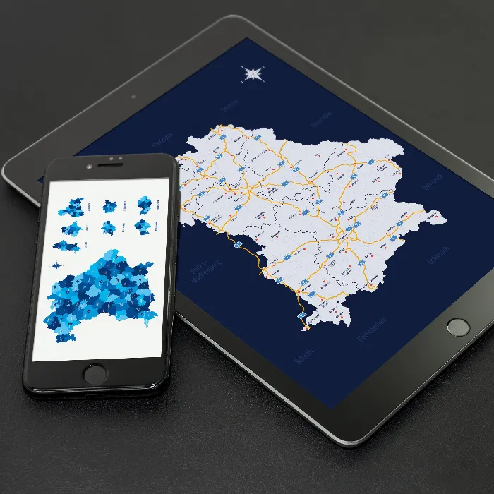
You can use the PNG files in common graphics and layout programs as well as, for example, in Office software such as PowerPoint. The maps of Bavaria, the districts and independent cities have a transparent background so that you can insert them without any additional effort.
You will receive specially prepared PSD files for editing in Photoshop. Furthermore, freely scalable AI and EPS files are available for use in Illustrator and other common vector programs (e.g. EPS in Affinity Designer). SVG files are also included.
All districts and independent cities in Bavaria can be used individually
You will of course receive the map of Bavaria as a combined map. If you only want to display a specific region or enlarge it next to the map of Bavaria, you can directly access the counties and independent cities that are also included. From Aichach-Friedberg to Neu-Ulm and Würzburg - these are your maps:
- Counties from A to K: Aichach-Friedberg, Altötting, Amberg-Sulzbach, Ansbach, Aschaffenburg, Augsburg, Bad Kissingen, Bad Tölz-Wolfratshausen, Bamberg, Bayreuth, Berchtesgadener Land, Cham, Coburg, Dachau, Deggendorf, Dillingen an der Donau, Dingolfing-Landau, Donau-Ries, Ebersberg, Eichstätt, Erding, Erlangen-Höchstadt, Forchheim, Freising, Freyung-Grafenau, Fürstenfeldbruck, Fürth, Garmisch-Partenkirchen, Günzburg, Haßberge, Hof, Kelheim, Kitzingen, Kronach, Kulmbach
- Counties from L to Z: Landsberg am Lech, Landshut, Lichtenfels, Lindau (Lake Constance), Main-Spessart, Miesbach, Miltenberg, Mühldorf am Inn, Munich, Neuburg-Schrobenhausen, Neumarkt in der Oberpfalz, Neustadt an der Aisch-Bad Windsheim, Neustadt an der Waldnaab,Neu-Ulm, Nürnberger Land, Oberallgäu, Ostallgäu, Passau, Pfaffenhofen an der Ilm, Regen, Regensburg, Rhön-Grabfeld, Rosenheim, Roth, Rottal-Inn, Schwandorf, Schweinfurt, Starnberg, Straubing-Bogen, Tirschenreuth, Traunstein, Unterallgäu, Weilheim-Schongau, Weißenburg-Gunzenhausen, Wunsiedel im Fichtelgebirge, Würzburg
- District cities: Amberg, Ansbach, Aschaffenburg, Augsburg, Bamberg, Bayreuth, Coburg, Erlangen, Fürth, Hof, Ingolstadt, Kaufbeuren, Kempten (Allgäu), Landshut, Memmingen, Munich, Nuremberg, Passau, Regensburg, Rosenheim, Schwabach, Schweinfurt, Straubing, Weiden in der Oberpfalz, Würzburg
- Cities: Abensberg, Amberg, Ansbach, Aschaffenburg, Augsburg, Bad Füssing, Bad Kissingen, Bad Neustadt an der Saale, Bad Staffelstein, Bad Tölz, Bamberg, Bayreuth, Berchtesgaden, Bodenmais, Cham, Coburg, Dachau, Deggendorf, Dingolfing, Donauwörth, Erding, Erlangen, Freising, Fürth, Garmisch-Partenkirchen, Günzburg, Herzogenaurach, Hof (Saale), Ingolstadt, Kaufbeuren, Kempten (Allgäu), Kitzingen, Knetzgau, Kulmbach, Landsberg am Lech, Landshut, Lindau (Lake Constance), Lohr am Main, Marktredwitz, Memmingen, Mühldorf am Inn, Munich, Neumarkt in der Oberpfalz, Neu-Ulm, Nördlingen, Nuremberg, Oberstdorf, Passau, Regensburg, Rosenheim, Rothenburg ob der Tauber, Rottal-Inn, Schliersee, Schwandorf, Schweinfurt, Sonthofen, Starnberg, Straubing, Traunstein, Vilshofen an der Donau, Weiden in der Oberpfalz, Weilheim in Oberbayern, Weißenburg in Bayern, Würzburg
Legal information
The areas of the federal state of Bavaria and the urban and rural districts have been sketched in for illustrative purposes and are primarily intended for design information purposes such as location markings etc. The maps make no claim to cartographic and topographical accuracy and may show slight deviations in scale.
Other users are also interested
How to build trust with customers

Effectively create modern slides
Show with clear symbolism what guests can expect

For complete business equipment

With flyer, business card & Co.

25 icons in different, editable variants

Fully equipped from flyer to roll-up
Create, set up & optimize online advertising


