Map of Berlin and Brandenburg
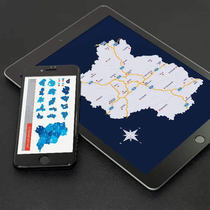
Map of Brandenburg with districts and Berlin

Map of Brandenburg with districts and Berlin

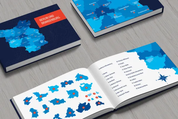
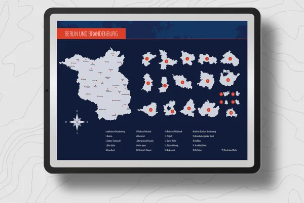
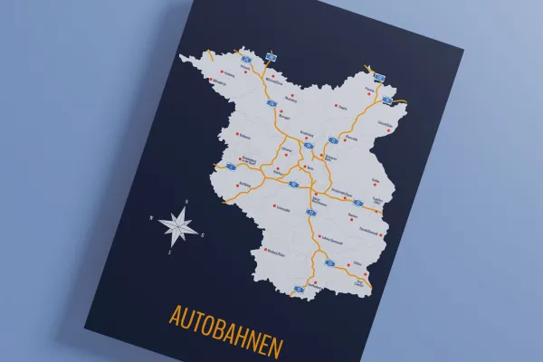
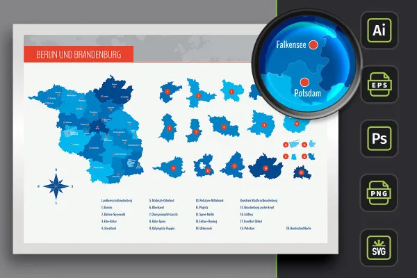
Get the whole of Brandenburg and the capital Berlin in vector and high-resolution pixel quality. You get the maps of both federal states, the 14 Brandenburg districts and 4 independent cities, including highways, plus the locations of 30 cities. If, for example, a location needs to be displayed, you have the right maps to hand.

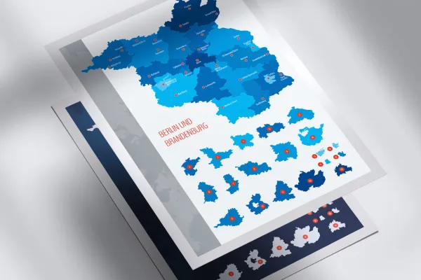
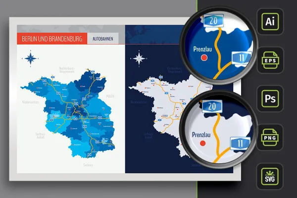
  • Map of Brandenburg with maps of the 14 districts and 4 independent cities as well as highways, incl. Berlin
  • From Bad Belzig to Wittstock/Dosse: 30 cities that you can show and hide individually
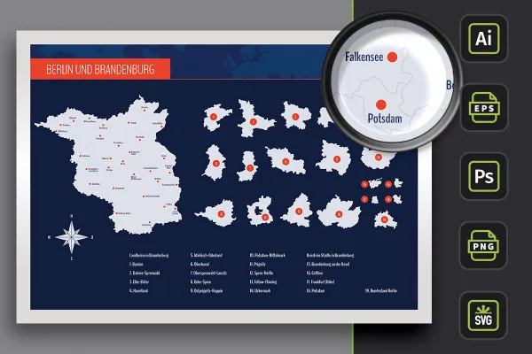
  • Two designs per card: with borders as an outline and with varying colored areas, color customizable
  • High-resolution PNG files for common editing programs
  • Vector-based, scalable maps (AI for Illustrator, EPS e.g. for Affinity Designer), SVG
  • PSD files for use in Photoshop with scalable maps
  • Ideally suited for presentations on the web and in print (such as situation reports)
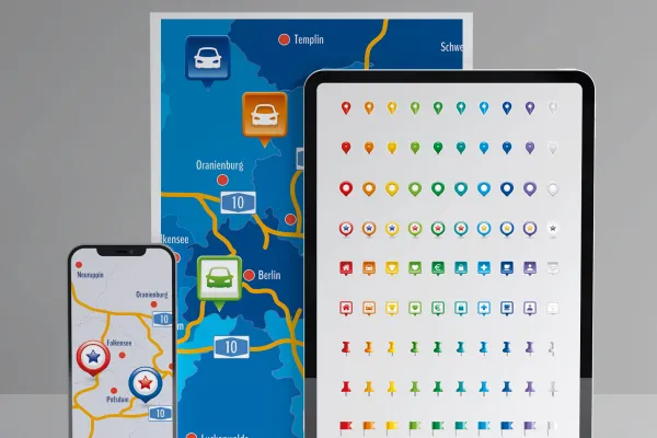
  • Bonus: 9 icons in 10 different colors to indicate locations on maps

Where is what in Brandenburg and Berlin? - With these maps you can easily show locations. Include the maps directly in your flyers, brochures or on websites.

In der Mitgliedschaft ab * € monatlich
oder
Sofort-Download nach Kauf: einmalig * €
Details
Categories
Maps, Vector graphics & illustrations, Business, Marketing & Sales
Created with love by:
4eck Media Germany 4eck Media Germany

Examples of use

  • Grab a fully editable map for Brandenburg and Berlin.
    Open gallery
    Grab a fully editable map for Brandenburg and Berlin.
  • Show the entire state or select the region you need.
    Open gallery
    Show the entire state or select the region you need.
  • Simply customize the map of Brandenburg/Berlin.
    Open gallery
    Simply customize the map of Brandenburg/Berlin.
  • You can show and hide the cities individually on the map.
    Open gallery
    You can show and hide the cities individually on the map.
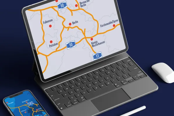
  • You can also easily display the highways if required.
    Open gallery
    You can also easily display the highways if required.
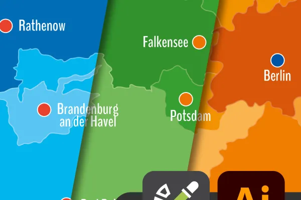
  • Easily change colors in Adobe Illustrator using color swatches.
    Open gallery
    Easily change colors in Adobe Illustrator using color swatches.
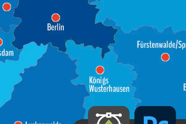
  • Also in Photoshop: Look forward to sharp-edged images.
    Open gallery
    Also in Photoshop: Look forward to sharp-edged images.
  • Use the included icons to display locations on the map.
    Open gallery
    Use the included icons to display locations on the map.