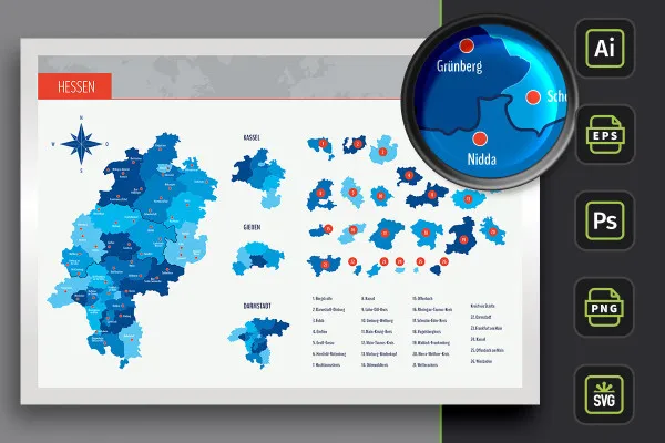
Map of Hesse with districts
Place the map of Hesse with all the districts and independent cities as well as 51 city markers on flyers, brochures or websites, on posters, roll-ups or in the masthead of a company website. The vector graphics adapt to the respective size without any loss of quality and cut a sharp-edged figure in both web and print. For Illustrator and Photoshop as well as SVG, PNG and EPS files for common graphics programs.
- Map of Hesse with maps of the 21 districts and 5 independent cities as well as highways
- With 51 marked locations of cities that can be faded in and out
- Zeitsparend moderne Präsentationen mit PowerPoint erstellen – so geht’s!
- Zielführende Workflows für Folien mit Text, Bild, Grafik, Tabelle, Video und Diagramm
- High-resolution PNG files for common editing programs
- Bonus: 9 icons in 10 different colors to indicate locations on maps
The state of Hesse is now always at your fingertips: download the maps, select your region, adjust the colors and insert the map directly into your designs.
- Usable with:
- content:
76
Assets/Templates
- Licence: private and commercial Rights of use
Examples of use
-
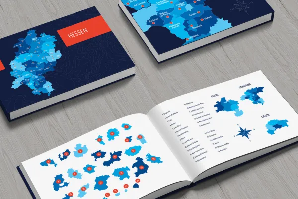 Open galleryUse the template to create a customized map of Hesse.
 -
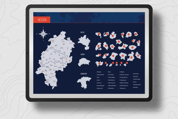 Open galleryYou can use the prepared designs directly or customize them as desired.
 -
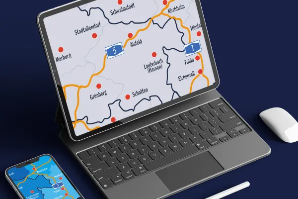 Open galleryShow the whole of Hessen or select a specific region.
 -
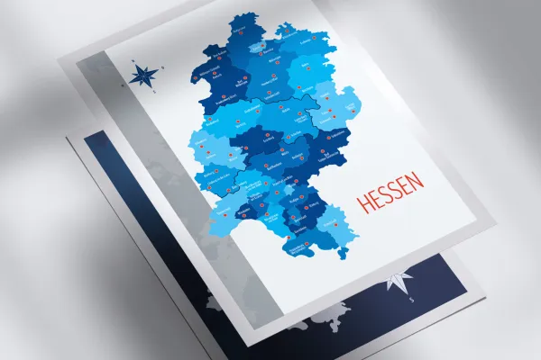 Open galleryYou can show and hide the locations of the Hessian cities individually.
 -
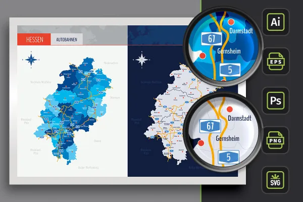
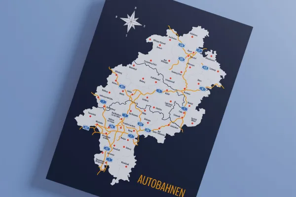 Open galleryVariants with highways are also available.
 -
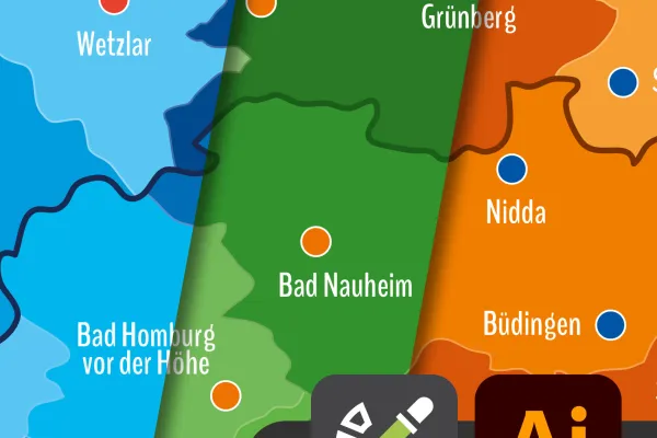 Open galleryIn Adobe Illustrator, you can easily adjust the colors of the map using color swatches.
 -
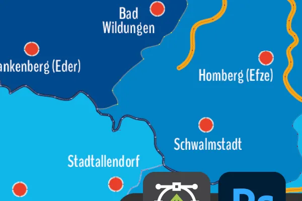 Open galleryThe maps of Hessen also offer you great vector quality in Photoshop.
 -
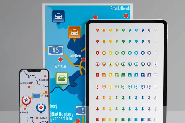 Open galleryUse the included icons to mark your locations on the Hessen map.
Map of Hesse with districts for download
Bonus: Icons for marking
Details of the content
On the map: Hesse with districts and independent cities
Maps of H esse - ideal for location maps or illustrations! Whether you want to show the whole of Hesse or just parts of it, such as Groß-Gerau, the Hochtaunus district, Darmstadt, Kassel, Wiesbaden or Frankfurt am Main - show what you want to show.
Hessen in the best shape and form: the contents of the maps
The map of Hessen is available in three versions. Use the preset designs or adjust their colors:
- Variant 1 shows Hesse with all districts and independent cities, with their areas separated by different colors.
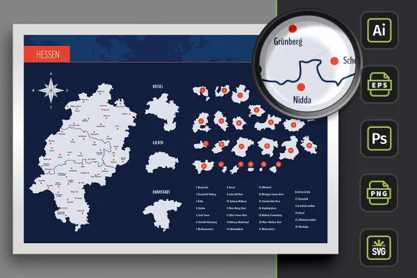
- Variant 2 relies on monochrome (in this case light gray) areas. The districts and independent cities of Hesse are represented by boundary lines.
- Variant 3 offers you both designs again, in which the highways of Hesse have also been drawn in.
Would you like to display the whole of Hesse? No problem! Would you like to limit yourself to a district or an independent city or highlight a specific area? Also possible! Use the alphabetically sorted list to quickly find your desired region, which you can use individually.
You can also find more map material in our map templates, including maps of Bavaria and Baden-Württemberg. You can also find more modern location icons to indicate your location on maps.
Software compatibility: maps in exactly the right format!
Whatever you work with - we want you to be able to use the maps quickly and easily. That's why the maps of Hesse and the districts and independent cities are available to you in various formats:
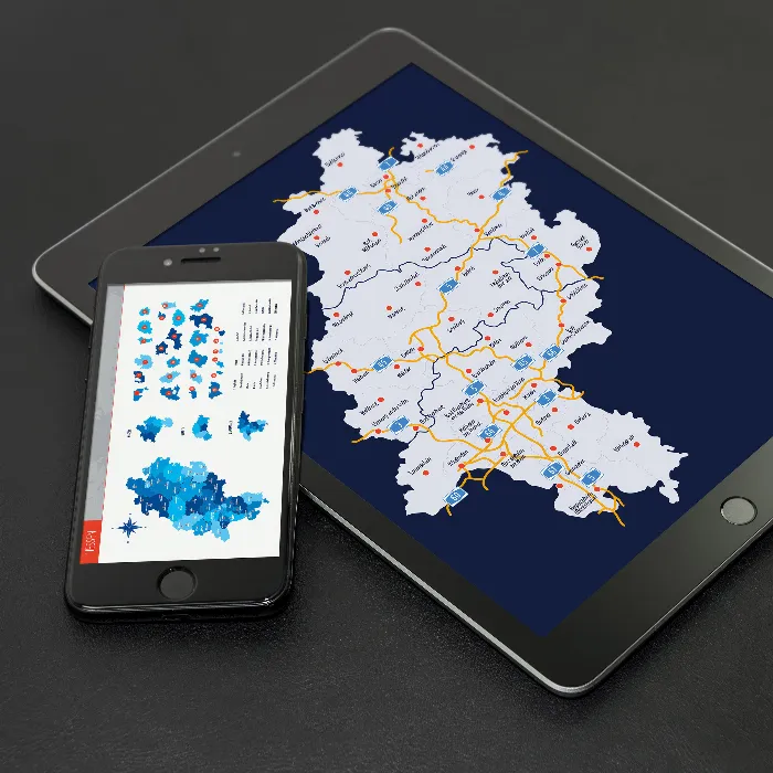
You can use the PNG files in common graphics and layout programs. For example, you can easily add Hessen to your designs in InDesign in high resolution. You can also use them in PowerPoint presentations.
You can get specially prepared PSD files for Photoshop. You can edit the AI files with Adobe Illustrator and receive EPS files for advanced vector programs such as Affinity Designer and SVG files.
All counties and independent cities can be used individually
The map of Hesse is available to you in its entirety. If you only want to display a specific region of Hesse, you can use the counties and independent cities that are also included. From Bergstrasse to Fulda to Kassel - these are your maps:
- Hesse in the overall view with districts, independent cities and highways
- Counties: Bergstraße, Darmstadt-Dieburg, Fulda, Gießen, Groß-Gerau, Hersfeld-Rotenburg, Hochtaunuskreis, Kassel, Lahn-Dill-Kreis, Limburg-Weilburg, Main-Kinzig-Kreis, Main-Taunus-Kreis, Marburg-Biedenkopf, Odenwaldkreis, Offenbach, Rheingau-Taunus-Kreis, Schwalm-Eder-Kreis, Vogelsbergkreis, Waldeck-Frankenberg, Werra-Meißner-Kreis, Wetteraukreis
- District cities: Darmstadt, Frankfurt am Main, Kassel, Offenbach am Main, Wiesbaden
- Cities: Alsfeld, Bad Arolsen, Bad Camberg, Bad Homburg vor der Höhe, Bad Nauheim, Bad Soden-Salmünster, Bad Wildungen, Baunatal, Bebra, Biedenkopf, Büdingen, Darmstadt, Dieburg, Dillenburg, Eichenzell, Eschwege, Frankenberg (Eder), Frankfurt am Main, Fulda, Gernsheim, Gersfeld (Rhön), Gießen, Grünberg, Hanau, Heppenheim (Bergstraße), Herborn, Hofgeismar, Hofheim am Taunus, Homberg (Efze), Hünfeld, Kassel, Kirchheim, Korbach, Lauterbach (Hessen), Limburg an der Lahn, Marburg, Melsungen, Michelstadt, Nidda, Rodgau, Rüsselsheim am Main, Schlüchtern, Schotten, Schwalmstadt, Stadtallendorf, Taunusstein, Weilburg, Wetzlar, Wiesbaden, Willingen (Upland), Witzenhausen
Legal information
The areas of the federal state of Hesse and the urban and rural districts have been sketched in for illustrative purposes and are primarily intended for design information purposes such as location markings etc. The maps make no claim to cartographic and topographical accuracy and may show slight deviations in scale.
Other users are also interested
Create, set up & optimize online advertising

25 icons in different, editable variants

With flyer, business card & Co.
Show with clear symbolism what guests can expect
How to build trust with customers

Effectively create modern slides

For complete business equipment

Fully equipped from flyer to roll-up


