Map of Lower Saxony and Bremen with districts
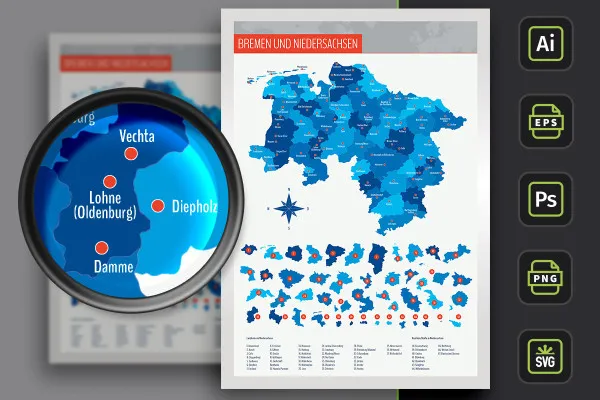
Simply download the map of Bremen and Lower Saxony with individually usable districts and independent cities as well as over 80 city markers and insert it into your design in the appropriate size. Ideally suited for illustration on large and small surfaces in web and print and for location illustrations.
- Map of Lower Saxony with maps of the 37 districts and 8 independent cities as well as highways
- With over 80 cities marked on the map that you can show and hide
- Including the map of Bremen
- With two designs per card: borders as contour and color-varying areas, color customizable
- Maps for Illustrator (AI), Photoshop (PSD), common vector programs such as Affinity Designer (EPS, SVG)
- High-resolution PNG files for common editing programs
- Bonus: 9 icons to indicate locations on maps in 10 prepared colors
Lower Saxony and Bremen in three map variants - access high-quality map designs at any time - for brochures, flyers, websites and more.
- Usable with:
- content:
112
Assets/Templates
- Licence: private and commercial Rights of use
Examples of use
-
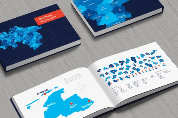 Open galleryUse the templates to create maps that match your corporate design.
 -
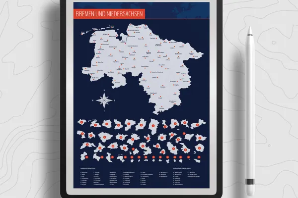 Open galleryUse the prepared designs or change them as desired.
 -
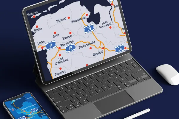 Open galleryExactly your section: Show the whole of Lower Saxony and Bremen or select a specific region.
 -
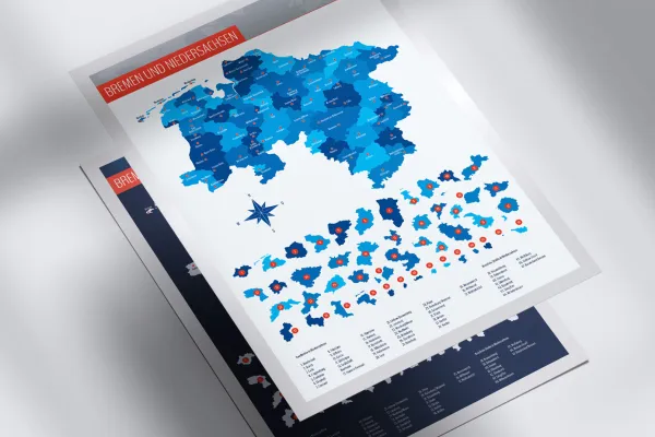 Open galleryYou can show and hide the locations of over 80 cities individually.
 -
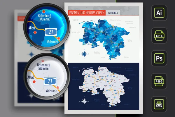
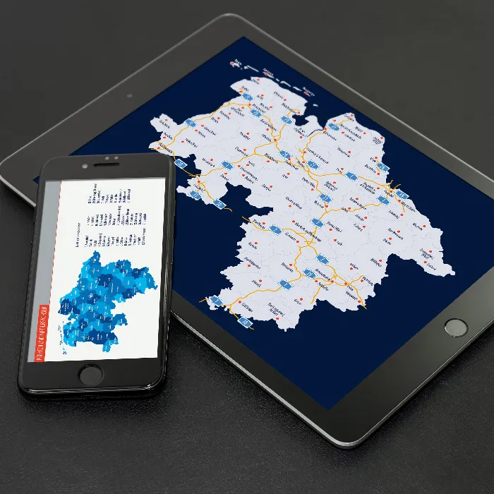
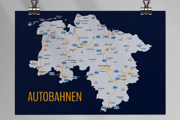 Open galleryIf required, you can also display the highways.
 -
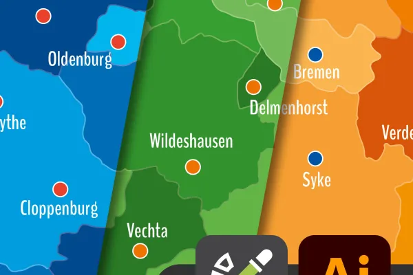 Open gallerySimply adjust the colors of the maps in Illustrator using color fields.
 -
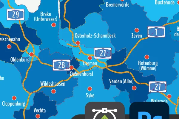 Open galleryThe maps of Bremen and Lower Saxony also offer you sharp-edged vector quality in Photoshop.
 -
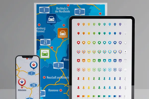 Open galleryUse the icons included in the package to display locations on your maps.
Map of Lower Saxony and Bremen
Bonus: Icons for marking
Details of the content
Bremen and Lower Saxony with districts and independent cities
Whether in large format on a roll-up or as an informative location display on the About us page of a company - with these freely scalable maps of Lower Saxony and Bremen, you can rely on the right map in print and online. Show the entire federal states or select individual districts or independent cities. You can also show and hide the locations of over 80 cities individually.
Bremen and Lower Saxony in three design variants
The map of Lower Saxony and Bremen is available in three versions. You can use the default designs or adjust their colors:
- Variant 1 shows Bremen and Lower Saxony with all districts and independent cities, whereby their areas are separated from each other by different colors.
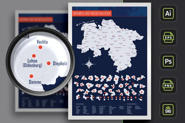
- Variant 2 uses monochrome (in this case light gray) areas. Counties and independent cities in Lower Saxony are represented by boundary lines.
- Variant 3 offers you both designs again, in which the highways of Lower Saxony and Bremen have also been drawn in.
Vector-based or high-resolution - maps for any size
You can freely scale the size of the maps without any loss of quality. This is ensured by the vector or shape-based templates, which are just as suitable for display on the web as they are for printing.
With the maps, you can either add the whole of Lower Saxony to your designs or select the desired districts and independent cities . These can be selected individually and an alphabetically sorted list helps you to find the relevant region.
Are you looking for other federal states or a world map? Take a look at our map collection and download maps of Austria, Germany and Switzerland, for example, or of federal states such as Bavaria. You can also find other modern location icons to indicate your location on maps.
Made for your program: maps in the right file format
Use your software to incorporate the maps of Lower Saxony and Bremen . Various file formats are available for this purpose:
You can use the AI files in Illustrator, while the EPS and SVG files are recommended for other vector-based programs such as Affinity Designer. PSD files are available for Photoshop. These four formats offer you vectors or shapes with which you can scale the maps without any loss of quality .
You can also obtain PNG files for common graphics and layout programs such as InDesign. Here, the maps stand freely in front of a transparent background, making it easy to insert them.
All counties and independent cities can be used individually
You can use the entire map of Lower Saxony and Bremen directly. If you only want to display or highlight a specific region, you can access the individually usable distr icts and independent cities. Your maps at a glance:
- Lower Saxony with Bremen in the overall view, with counties, independent cities and highways
- Counties: Ammerland, Aurich, Celle, Cloppenburg, Cuxhaven, Diepholz, Emsland, Friesland, Gifhorn, Goslar, Göttingen, Grafschaft Bentheim, Hameln-Pyrmont, Hanover, Harburg, Heidekreis, Helmstedt, Hildesheim, Holzminden, Leer, Lüchow-Dannenberg, Lüneburg, Nienburg/Weser, Northeim, Oldenburg, Osnabrück, Osterholz, Peine, Rotenburg (Wümme), Schaumburg, Stade, Uelzen, Vechta, Verden, Wesermarsch, Wittmund, Wolfenbüttel
- District cities: Braunschweig, Delmenhorst, Emden, Oldenburg, Osnabrück, Salzgitter, Wilhelmshaven, Wolfsburg
- Island of Mellum
- Cities: Aurich, Bad Bentheim, Bad Bevensen, Bad Lauterberg im Harz, Bad Zwischenahn, Bersenbrück, Bleckede, Borkum, Brake (Unterweser), Braunschweig, Bremen, Bremerhaven, Bremervörde, Buchholz in der Nordheide, Buxtehude, Celle, Cloppenburg, Cuxhaven, Damme, Dannenberg (Elbe), Delmenhorst, Diepholz, Dörpen, Einbeck, Emden, Emlichheim, Faßberg, Freiburg (Elbe), Friesoythe, Geestland, Gifhorn, Goslar, Göttingen, Hameln, Hanover, Haren (Ems), Helmstedt, Hildesheim, Leer (Ostfriesland), Lehre, Lingen (Ems), Lohne (Oldenburg), Lüchow, Lüneburg, Meppen, Moormerland, Munster, Neustadt am Rübenberge, Nienburg/Weser, Norden, Norderney, Nordhorn, Oldenburg, Osnabrück, Osterholz-Scharmbeck, Papenburg, Rotenburg (Wümme), Salzgitter, Schneverdingen, Seevetal, Soltau, Stade, Stadthagen, Stadtoldendorf, Sulingen, Syke, Uelzen, Vechta, Verden (Aller), Walsrode, Wangerooge, Wiesmoor, Wildeshausen, Wilhelmshaven, Wingst, Winsen (Aller), Winsen (Luhe), Wittingen, Wittmund, Wolfsburg, Wurster Nordseeküste, Zeven
Legal information
The areas of the federal state of Lower Saxony and the urban and rural districts have been sketched in for illustrative purposes and are primarily used for design information purposes such as location markings etc. The maps make no claim to cartographic and topographical accuracy and may show slight deviations in scale.
Other users are also interested
Show with clear symbolism what guests can expect

Effectively create modern slides
How to build trust with customers

With flyer, business card & Co.

Fully equipped from flyer to roll-up
Create, set up & optimize online advertising

For complete business equipment

25 icons in different, editable variants


