Map of NRW: North Rhine-Westphalia with districts
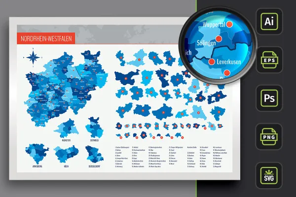
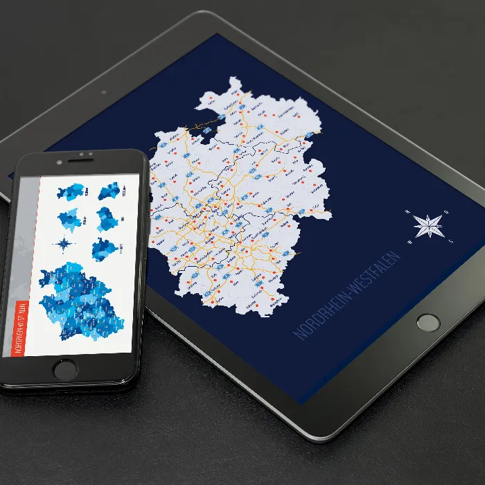
Ideally suited for location representations, location information and illustrations on the web as well as on printed matter: the map of NRW with individually usable districts and independent cities as well as markings of over 80 cities - North Rhine-Westphalia in customizable and therefore exactly the right size and color for your designs!
- Map of NRW with maps of the 31 districts and 22 independent cities as well as highways
- Markings of over 80 cities that you can show and hide individually
- Two designs per card: with borders as an outline and with varying colored areas, color customizable
- Editable in Illustrator (AI), Photoshop (PSD), common vector programs such as Affinity Designer (EPS, SVG)
- High-resolution PNG files for common editing programs
From Aachen to Wuppertal - download the map of NRW and simply add it to your designs as a whole or to individual regions.
- Usable with:
- content:
134
Assets/Templates
- Licence: private and commercial Rights of use
Examples of use
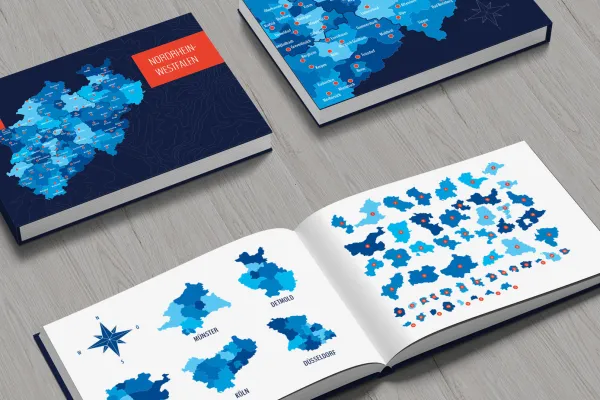
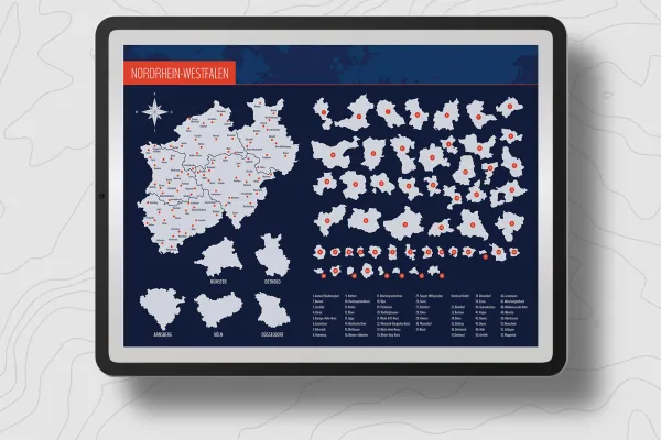
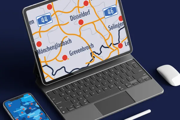
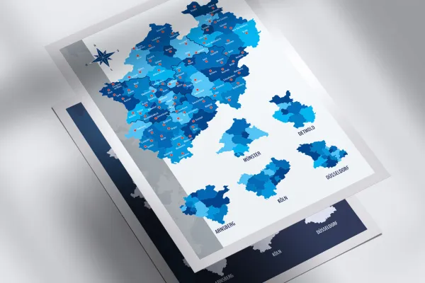
Map of North Rhine-Westphalia
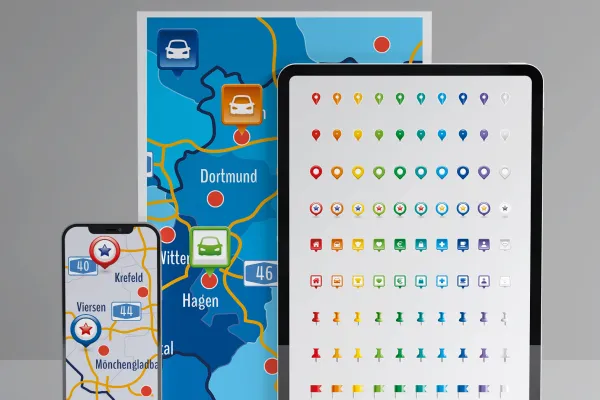
Bonus: Icons for labeling
Details of the content
North Rhine-Westphalia with all districts and independent cities
Show the location of a company in North Rhine-Westphalia in flyers, brochures, roll-ups etc. Inform visitors to your website about the geographical location of your company. And above all: for all these projects, rely on a high-quality map design that offers you maximum flexibility: freely scalable in size and files for different programs!
North Rhine-Westphalia in three map variants
The map of North Rhine-Westphalia is available in three versions. You can use the default designs or change the colors:
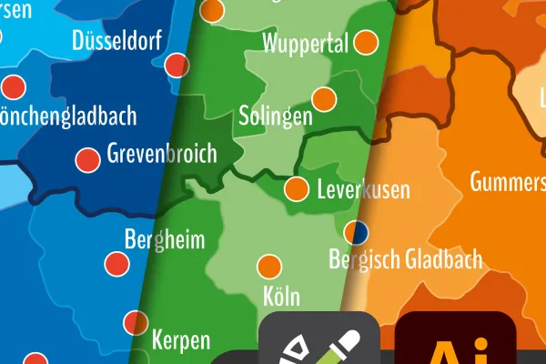
- Variant 1 shows North Rhine-Westphalia with all districts and independent cities, whereby their areas are separated from each other by different colors.
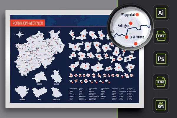
- Variant 2 uses monochrome (in this case light gray) areas. Counties and independent cities of North Rhine-Westphalia are represented by boundary lines.
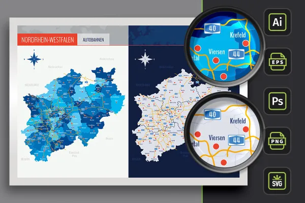
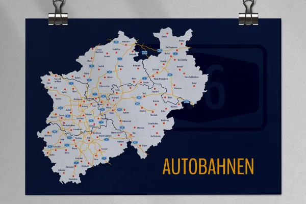
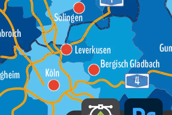
- Variant 3 offers you both designs again, in which the freeways of NRW have also been drawn in.
Adjust the size of the NRW map - for web and print
Do you want a small location in the imprint of a company website? Or would you prefer the large-format location map on a printed roll-up? Neither is a problem! Enlarge and reduce the maps of North Rhine-Westphalia as you wish - the vector and shape-based templates present the maps in sharp-edged form for web and print.
Add the whole of North Rhine-Westphalia to your designs, change the colors of certain districts and independent cities, access individual regions and display the positions of over 80 cities if you wish. You can select all areas individually and edit them according to your requirements. An alphabetically sorted list helps you to find the relevant region.
Would you like to go beyond the borders of NRW ? Take a look at our map category and discover more maps of Bavaria or Mecklenburg-Vorpommern, for example. You'll also find other modern location icons for indicating locations on maps.
File formats for your program - how to easily insert the maps
Work with the software you are used to. The maps of North Rhine-Westphalia and the districts and independent cities are available to you in various file formats:
You can use the AI files in Adobe Illustrator. The EPS and SVG files are suitable for more advanced vector programs such as Affinity Designer. When working with Photoshop, you can use the PSD variants. Three formats that are based on vectors or shapes so that you can enlarge and reduce the maps without any loss of quality.
Printable templates are also available in the pixel version: Use the high-resolution PNG files in common graphics and layout programs such as InDesign. The maps are cut out in front of a transparent background and can therefore be incorporated directly.
All districts and independent cities can be used individually
You can use the entire map of North Rhine-Westphalia directly. If you only want to display or highlight a specific region, you can access the individually usable distr icts and independent cities. Your maps at a glance:
- North Rhine-Westphalia in full view with counties, independent cities and highways
- Counties: Aachen (city region), Borken, Coesfeld, Düren, Ennepe-Ruhr-Kreis, Euskirchen, Gütersloh, Heinsberg, Herford, Hochsauerlandkreis, Höxter, Kleve, Lippe, Märkischer Kreis, Mettmann, Minden-Lübbecke, Oberbergischer Kreis, Olpe, Paderborn, Recklinghausen, Rhein-Erft-Kreis, Rheinisch-Bergischer Kreis, Rhein-Kreis Neuss, Rhein-Sieg-Kreis, Siegen-Wittgenstein, Soest, Steinfurt, Unna, Viersen, Warendorf, Wesel
- District cities: Bielefeld, Bochum, Bonn, Bottrop, Dortmund, Duisburg, Düsseldorf, Essen, Gelsenkirchen, Hagen, Hammes, Herne, Cologne, Krefeld, Leverkusen, Mönchengladbach, Mülheim an der Ruhr, Münster, Oberhausen, Remscheid, Solingen, Wuppertal
- Cities: Aachen, Ahaus, Ahlen, Arnsberg, Bad Berleburg, Bad Oeynhausen, Bad Salzuflen, Beckum, Bergheim, Bergisch Gladbach, Bielefeld, Blankenheim, Bocholt, Bochum, Bonn, Borken, Brakel, Brilon, Büren, Coesfeld, Detmold, Dortmund, Duisburg, Dülmen, Düren, Düsseldorf, Emmerich am Rhein, Emsdetten, Eschweiler, Essen, Euskirchen, Gelsenkirchen, Goch, Grevenbroich, Gronau (Westphalia), Gummersbach, Gütersloh, Hagen, Haltern am See, Hammes, Heinsberg, Hellenthal, Herford, Horn-Bad Meinberg, Ibbenbüren, Iserlohn, Jülich, Kevelaer, Kleve, Cologne, Krefeld, Lengerich, Leverkusen, Lippstadt, Lüdenscheid, Lünen, Marsberg, Mechernich, Meschede, Minden, Mönchengladbach, Münster, Nettetal, Oberhausen, Paderborn, Rahden, Ratingen, Rheda-Wiedenbrück, Rheinbach, Schmallenberg, Siegen, Soest, Solingen, Steinfurt, Viersen, Waldbröl, Warendorf, Warstein, Wesel, Winterberg, Witten, Wuppertal, Xanten
Legal information
The areas of the federal state of North Rhine-Westphalia and the urban and rural districts have been sketched in for illustrative purposes and are primarily intended for design information purposes such as location markings etc. The maps make no claim to cartographic and topographical accuracy and may show slight deviations in scale.
Other users are also interested

For complete business equipment
Quickly create high-quality business equipment
Fully equipped from flyer to roll-up

With flyer, business card & Co.

25 icons in different, editable variants
How to build trust with customers
From the business card to the roll-up
Effectively create modern slides


