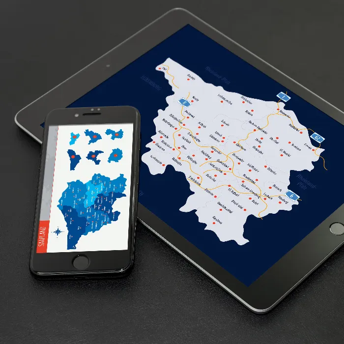
Map of Saarland with counties
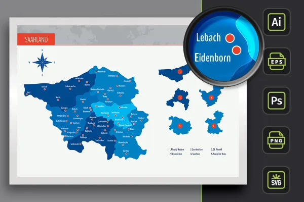
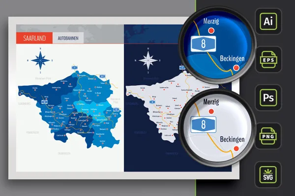
Scale the size, adjust the colors, use the entire map or individual districts and display cities: This is your map of Saarland! The templates are suitable for use on the web and in print. A variant with highways is also included.
- Map of Saarland with maps of the 6 districts
- Can be used individually: Merzig-Wadern, Neunkirchen, Saarbrücken, Saarlouis, Saarpfalz-Kreis and St. Wendel
- With markings of 52 cities that you can show and hide individually
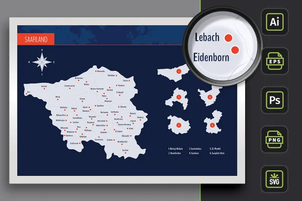
- Two designs per card: with borders as an outline and with varying colored areas, color customizable
- Editable in Illustrator (AI), Photoshop (PSD), common vector programs such as Affinity Designer (EPS, SVG)
- High-resolution PNG files for common editing programs
Download the Saarland map and use it at any time in the future, for example for websites or flyers.
- Usable with:
- content:
29
Assets/Templates
- Licence: private and commercial Rights of use
Examples of use
-
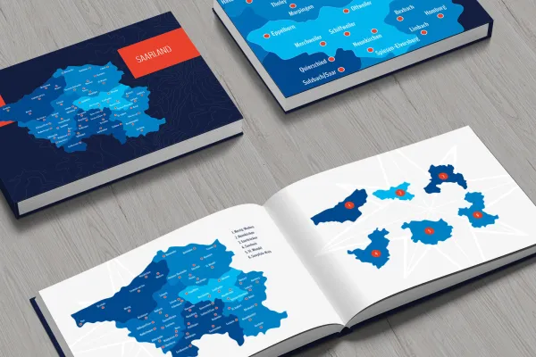 Open galleryCreate individual maps for your designs with the maps of Saarland.
 -
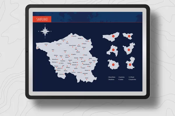 Open galleryYou can freely customize and edit the maps of Saarland.
 -
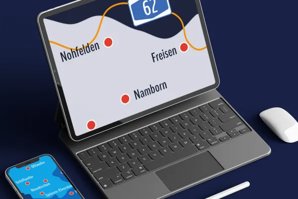 Open galleryShow the entire Saarland or only selected regions.
 -
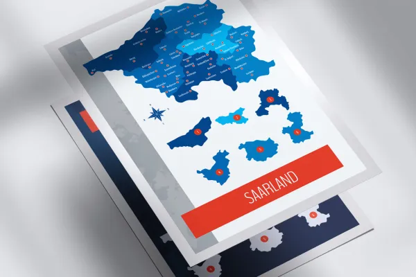 Open galleryYou can show and hide the markers for the cities in Saarland individually.
 -
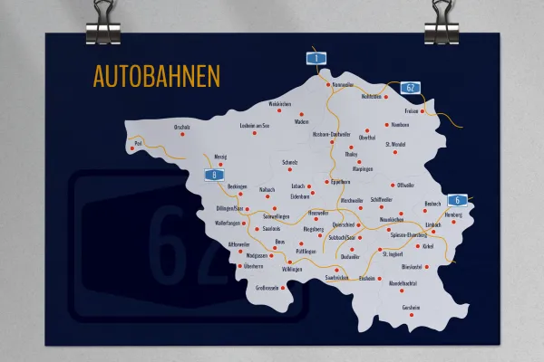 Open galleryAlso use the Saarland map with the highways marked on it.
 -
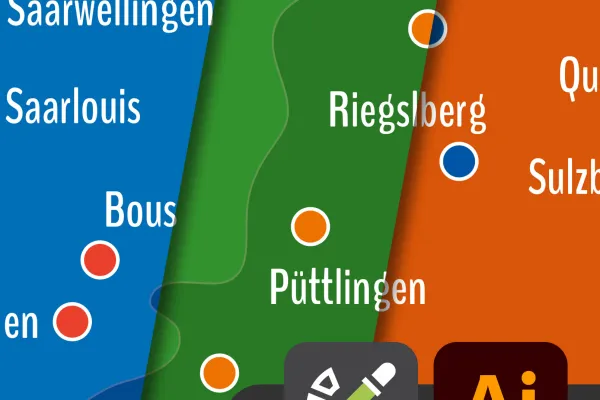 Open galleryUse color swatches in Adobe Illustrator to adjust the colors of the cards.
 -
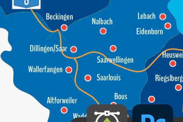 Open galleryThe maps of Saarland also offer you great vector quality in Photoshop.
 -
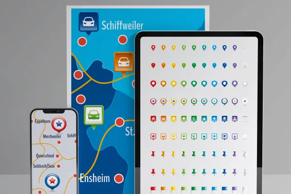 Open galleryUse the icons also included to mark locations.
Map Saarland
Bonus: Icons for marking
Details of the content
Saarland with all districts
Use maps of Saar land for illustration, location and location information. The maps offer you maximum flexibility in terms of editing. You receive files for different programs and you can adjust the size and colors as desired.
Saarland in three map versions
The map of Saar land is available in three versions. You can use the default designs or adjust the colors:
- Variant 1 shows the Saarland with all districts, whereby their areas are separated from each other by different colors.
- Variant 2 relies on monochrome (in this case light gray) areas. The counties are represented by boundary lines.
- Variant 3 offers you both designs again, in which the highways of the Saarland have also been drawn in.
Freely scalable maps for web and print
Would you like to use the maps in a small size on the web or in large format on a roll-up? - No problem. The templates are based on vectors or shapes and can be resized to any size while retaining perfect edge definition. Use the maps to display company locations or create illustrative elements, for example.
Another plus: you can use the map of Saarland in its entirety or access the individual districts as required. The colors can also be easily adjusted. An alphabetically sorted list helps you to find a specific region. The markings of 52 Saarland cities can also be shown or hidden individually.
Are you looking for maps of other federal states? Then take a look at our maps category. There you will find maps for Mecklenburg-Western Pomerania and Lower Saxony, among others. You can also find other modern location icons to indicate your location on maps.
Files for your software - how to use the maps
You can use your favorite software to edit the maps. The maps of Saarland and the districts are available to you in various file formats:
You can use the AI files in Adobe Illustrator and the EPS and SVG files in other vector programs such as Affinity Designer. In Photoshop, you can use the PSD files. The formats are based on shapes or vectors, so you can enlarge and reduce the maps as you wish without any loss of quality.
If you don't have a vector program or Photoshop, we recommend the high-resolution PNG files for all common graphics and layout programs. In this case, the maps are placed in front of a transparent background.
All counties can be used individually
You can use the maps of Saarland in their entirety. If you only want to display or highlight a specific region, you can access the individually usable districts . Your maps at a glance:
- Saarland in full view with counties and highways
- Counties: Merzig-Wadern, Neunkirchen, Saarbrücken, Saarlouis, Saarpfalz-Kreis, St. Wendel
- Towns: Altforweiler, Beckingen, Bexbach, Blieskastel, Bous, Dillingen/Saar, Dudweiler, Eidenborn, Ensheim, Eppelborn, Freisen, Gersheim, Großrosseln, Hasborn-Dautweiler, Heusweiler, Homburg, Kirkel, Lebach, Limbach, Losheim am See, Mandelbachtal, Marpingen, Merchweiler, Merzig, Nalbach, Namborn, Neunkirchen, Nohfelden, Nonnweiler, Oberthal, Orscholz, Ottweiler, Perl, Püttlingen, Quierschied, Riegslberg, Saarbrücken, Saarlouis, Saarwellingen, Schiffweiler, Schmelz, Spiesen-Elversberg, St. Ingbert, St. Wendel, Sulzbach/Saar, Tholey, Überherrn, Völklingen, Wadern, Wadgassen, Wallerfangen, Weiskirchen
Legal information
The areas of the federal state of Saarland and the urban and rural districts have been sketched in for illustrative purposes and are primarily used for design information purposes such as location markings etc. The maps make no claim to cartographic and topographical accuracy and may show slight deviations in scale.
The areas of the federal state of Saarland and the urban and rural districts have been sketched in for illustrative purposes and are primarily intended for design information purposes such as location markings etc. The maps make no claim to cartographic and topographical accuracy and may show slight deviations in scale.
Other users are also interested
Show with clear symbolism what guests can expect

Effectively create modern slides
Create, set up & optimize online advertising
How to build trust with customers

For complete business equipment

25 icons in different, editable variants

Fully equipped from flyer to roll-up

With flyer, business card & Co.


