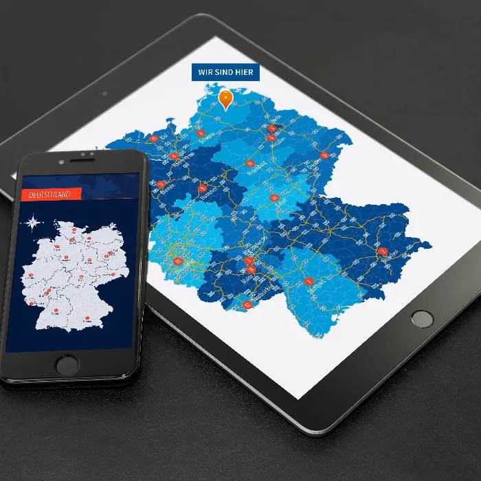
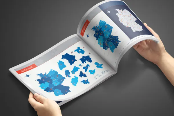
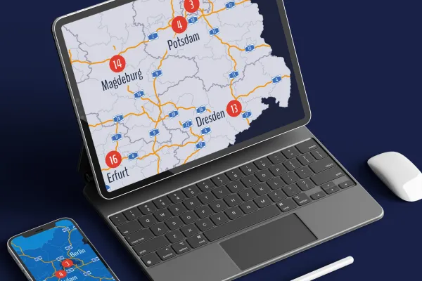
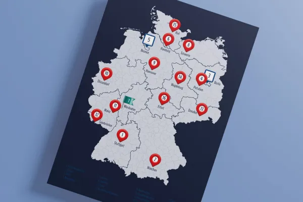
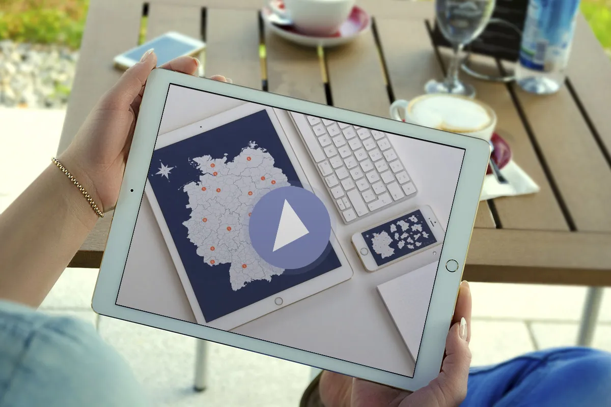
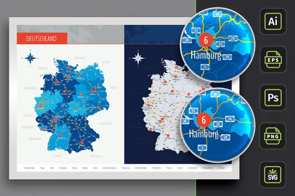
Excellent for printing on small and large surfaces and ideal for displaying on the web: With this map of Germany, you can snap up the entire country and all 16 federal states in top vector quality. Download once - use again and again: two customizable designs, with freeways and the capitals of the federal states plus icons for marking locations on maps.
Whether in the imprint of your website, on a flyer or poster - this map of Germany adapts to any size in web and print without loss! Download directly now.
Companies need to visualize where they are located again and again in a wide variety of media, especially in their external presentation. So a map is needed, and preferably one that is flexible in various respects. By downloading this map of Germany , you can be sure of exactly that - maximum flexibility:
Best display quality through vectors, customizable in color and size, compatible with common graphics, layout and vector programs and commercially usable - individually usable federal states and districts, with freeways and capitals of the individual federal states and icons for location marking ... Does this map of Germany leave anything to be desired?
✓ Best display quality: As the map of Germany is based on vectors, you can adapt it to any application without loss. This results in a sharp-edged reproduction both in the printing of brochures, flyers, company newspapers, posters or roll-ups as well as in the digital presentation on PowerPoint slides or on the Internet on your websites.
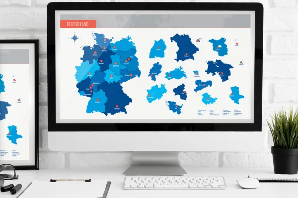
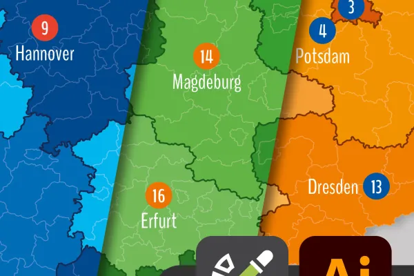
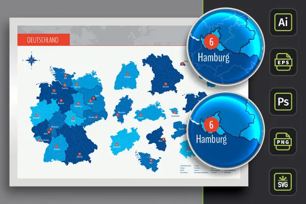
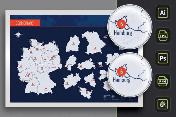
✓ Freely editable: The map of Germany is available in two design variants for quick use. If you want to adapt the colors to your corporate design , for example, this is no problem. All templates can be freely edited.
✓ Germany, federal states, districts: You can use the map of Germany as a whole. The maps of all federal states are also available individually. In the vector files (AI, EPS) you can also access the individual districts if required. This allows you to easily depict sections of the map of Germany.
✓ Motorways: Simply place Germany's highways on the maps. Separate files are available for this purpose, in which you can also adjust the coloring of the freeways.
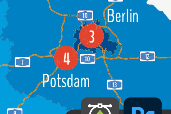
✓ Capitals: The capitals of the federal states are already marked on the map. You can also choose to hide them.
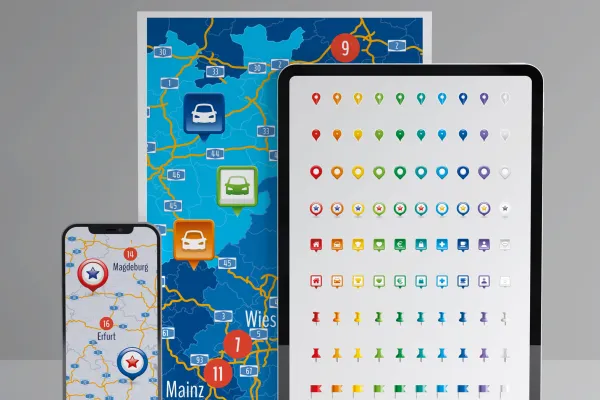
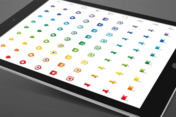
✓ Location information: To show the location of your company, you get 9 high-quality icons in ten different colors each as a bonus . A fine detail in the preparation of your map that is aesthetically pleasing and will catch the eye.
TIP: If you want to display locations on the maps, you can find more modern location icons here.
✓ Software compatibility: The map of Germany is available in AI, EPS, SVG, PSD and PNG files. This means you can edit them in different programs and program versions . So work with the software that suits you!
✓ Clear usage rights: Use the map of Germany in commercial projects, regardless of the print run or the number of views on the web.
With the download you receive a total of four individual packages. Two of them offer you the map of Germany with all federal states and their capitals in two different designs (with borders as contours and with areas varying in color). The third package also includes the highways. For easy use, you will find all templates in AI, EPS, SVG, PSD and PNG format in these three packages.
In addition, the fourth package contains the icons for marking locations in EPS, AI, PNG and SVG formats. Additional tip: Take a look at our map category and discover many more templates, such as our high-quality world map.
The areas of Germany, the federal states and the districts have been sketched in for illustrative purposes and are primarily used for design information purposes such as location markings etc. The maps make no claim to cartographic and topographical accuracy and may show slight deviations in scale.
For complete business equipment
With flyer, business card & Co.
Faster results in your tables
Effectively create modern slides
How to build trust with customers
Fully equipped from flyer to roll-up
25 icons in different, editable variants
This saves you time and effort!