In this tutorial, I will show you how you can create map material for all countries in the world, as well as for federal states and capitals, directly from Microsoft PowerPoint. Whether you need a world map, a map of a European country, or a detailed map of Germany – this step-by-step guide will help you generate the necessary maps in high quality. All you need is PowerPoint 2019 or a newer version. Let's get started!
Key Takeaways
- You can create map material directly from PowerPoint without additional costs or downloads.
- The quality of the generated map material is very high and suitable for presentations.
- With a few simple steps, you can customize and save individual maps down to the level of federal states and capitals.
Step-by-Step Guide
First, open PowerPoint and create a new presentation. Save it and name it something like "Map Material".
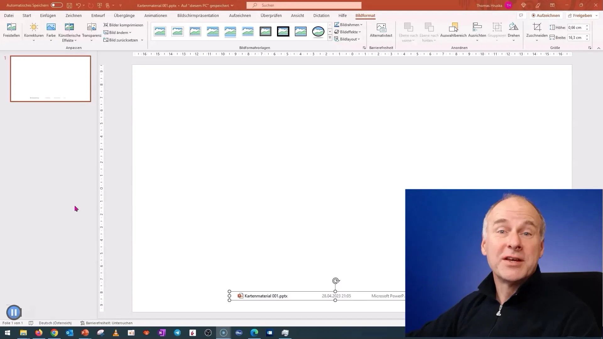
Now go to the "Insert" tab and choose "Chart". Click on "Map" to activate the map feature.
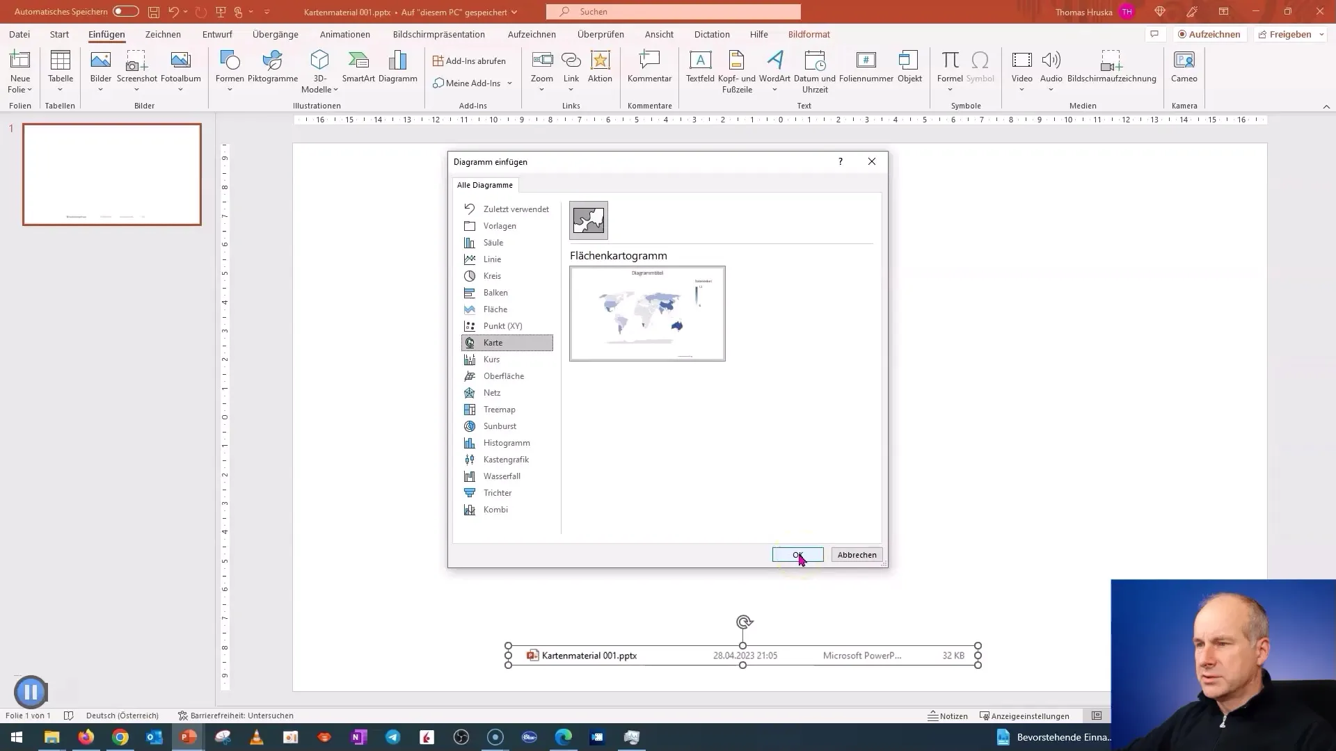
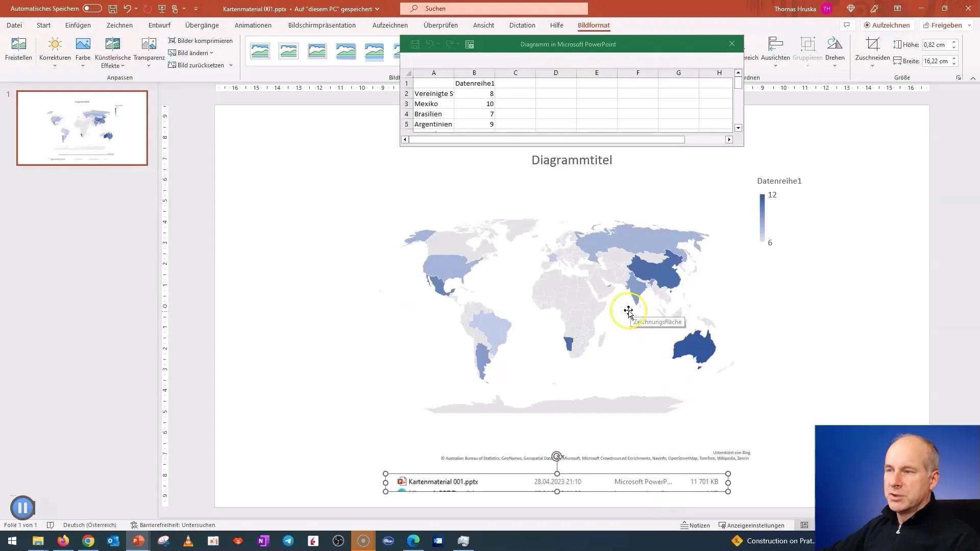
It will take a while as PowerPoint downloads all the necessary data from the internet. The progress can be tracked by the loading indicator.
Once the map is loaded, you can see how much data PowerPoint has downloaded. This information is important to know the size of the map material.
Now I will proceed to save the map. You can save it to reuse it later.
Next, I want to explore a specific region. I first clear everything from the slide and add the country "Austria". You will notice that the map directly zooms into the next larger unit, Europe.
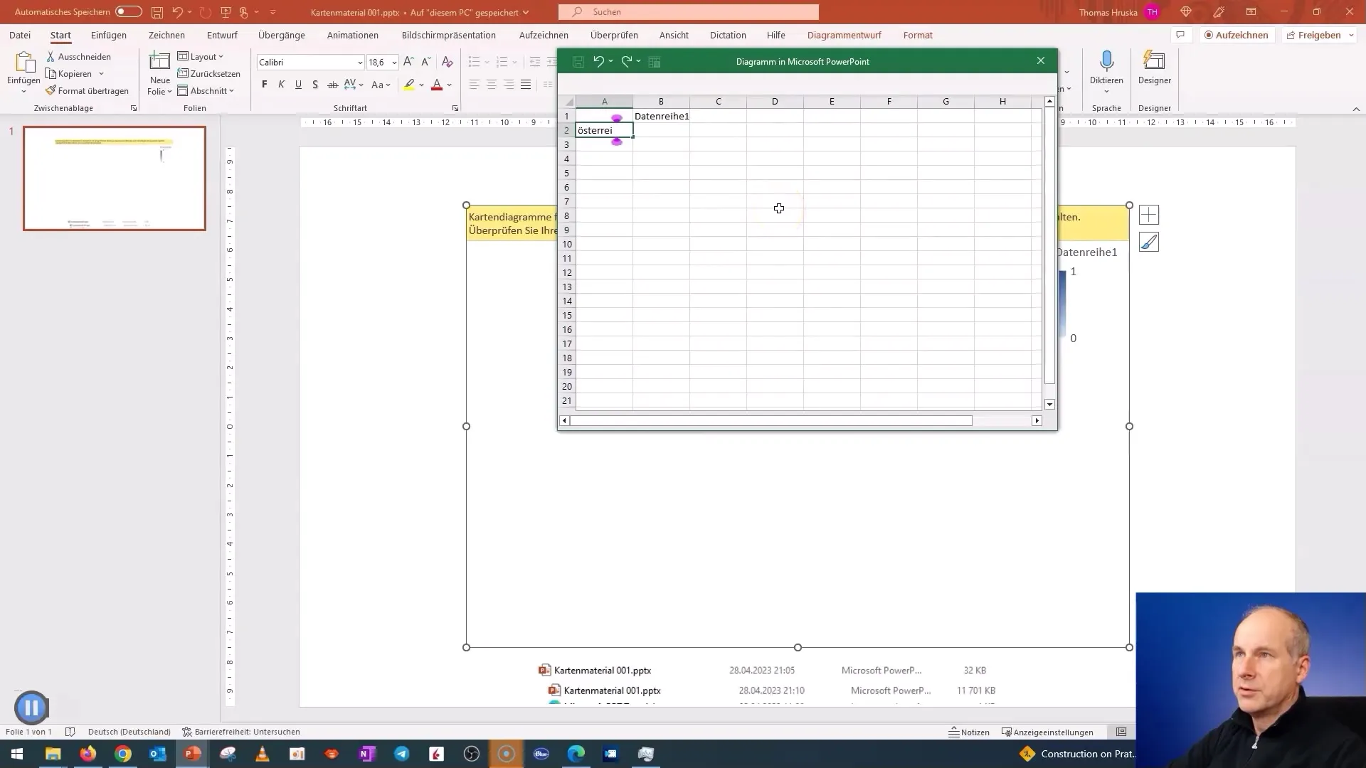
When you save the country again, you will see the file size and notice the difference depending on how many countries or regions you add or remove.
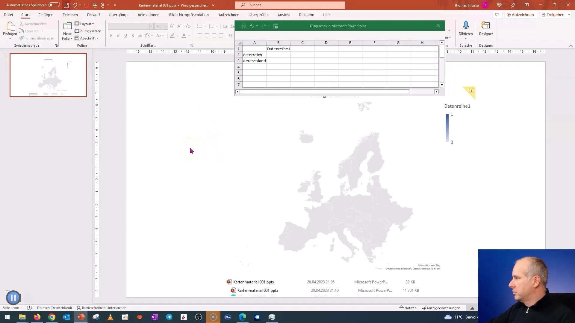
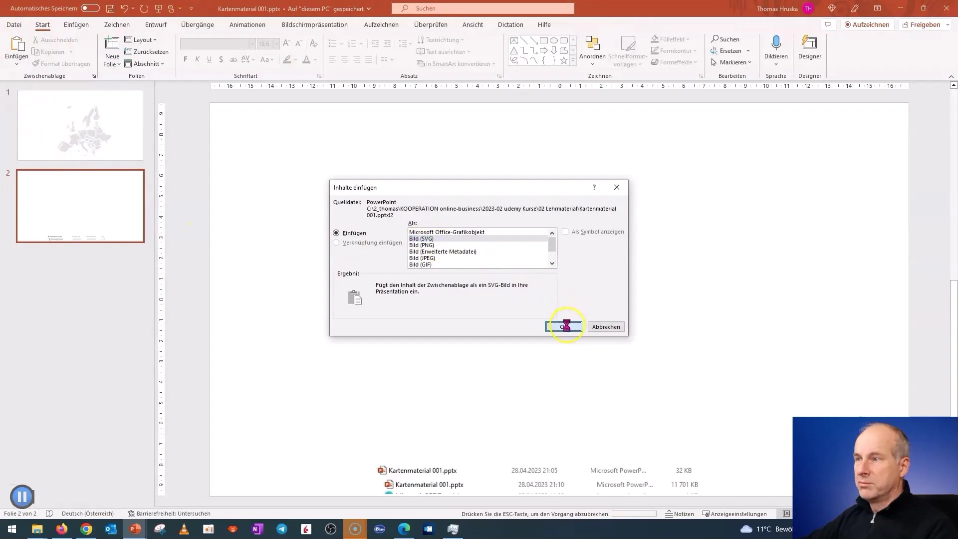
To use the map as an image, I play with the "Cut" and "Paste" function. Choose the "SVG Image" option to save the map as a vector graphic.
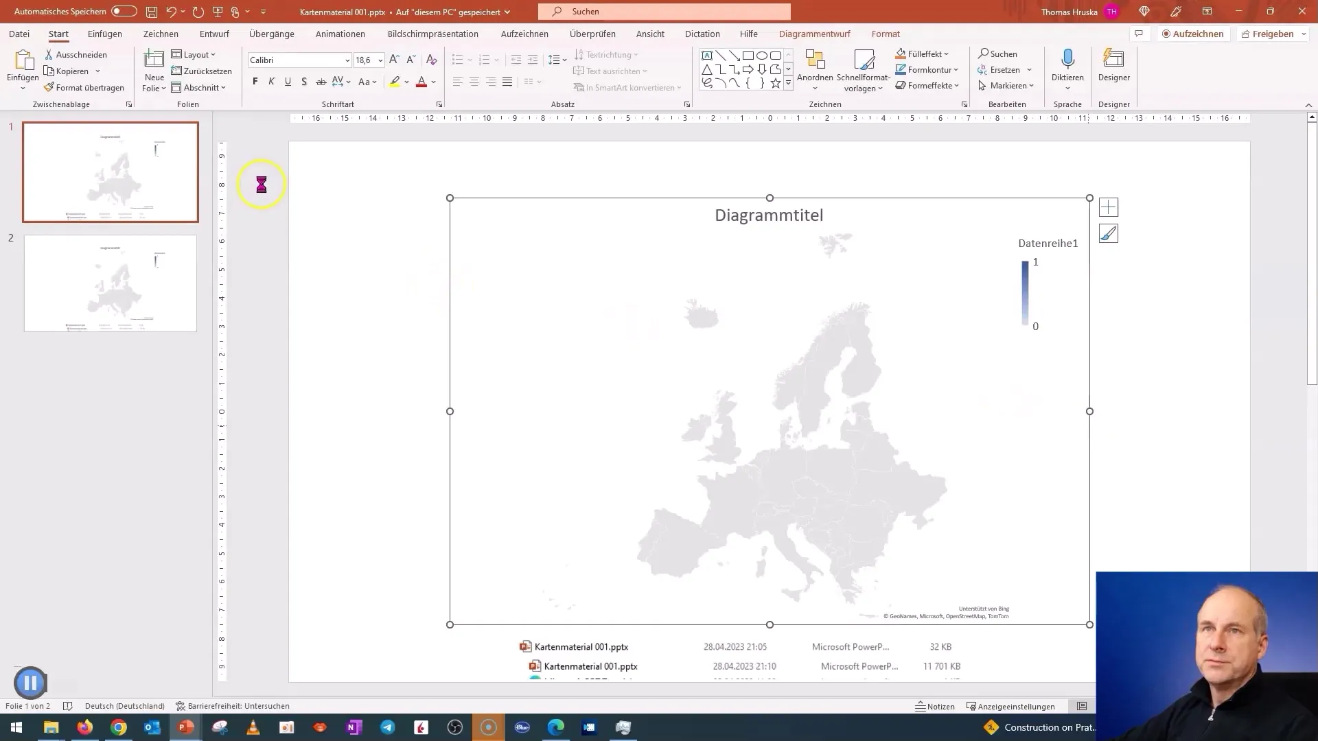
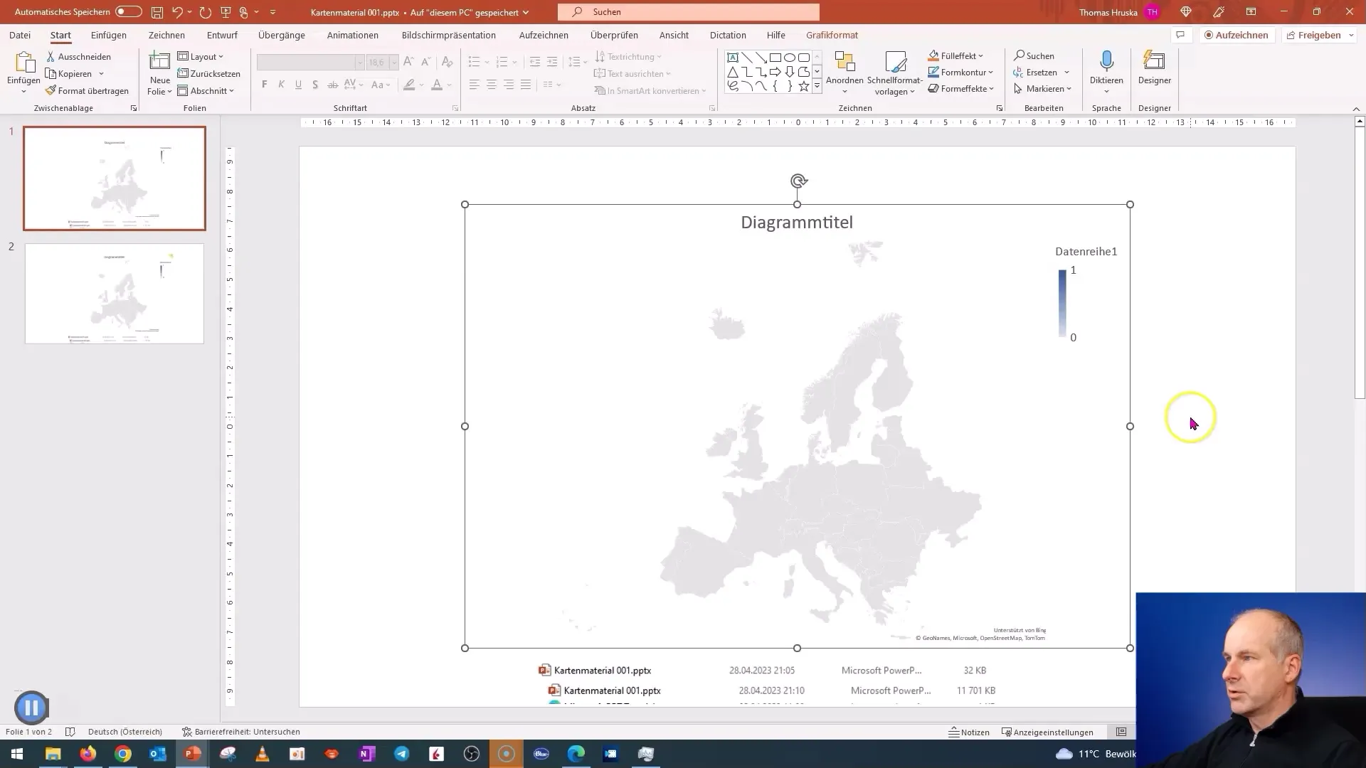
Once you have the image, you can further edit it. To break down the map into individual graphic elements, choose "Convert to Shape". This makes it easier to edit the elements of the map individually, e.g. for color changes.
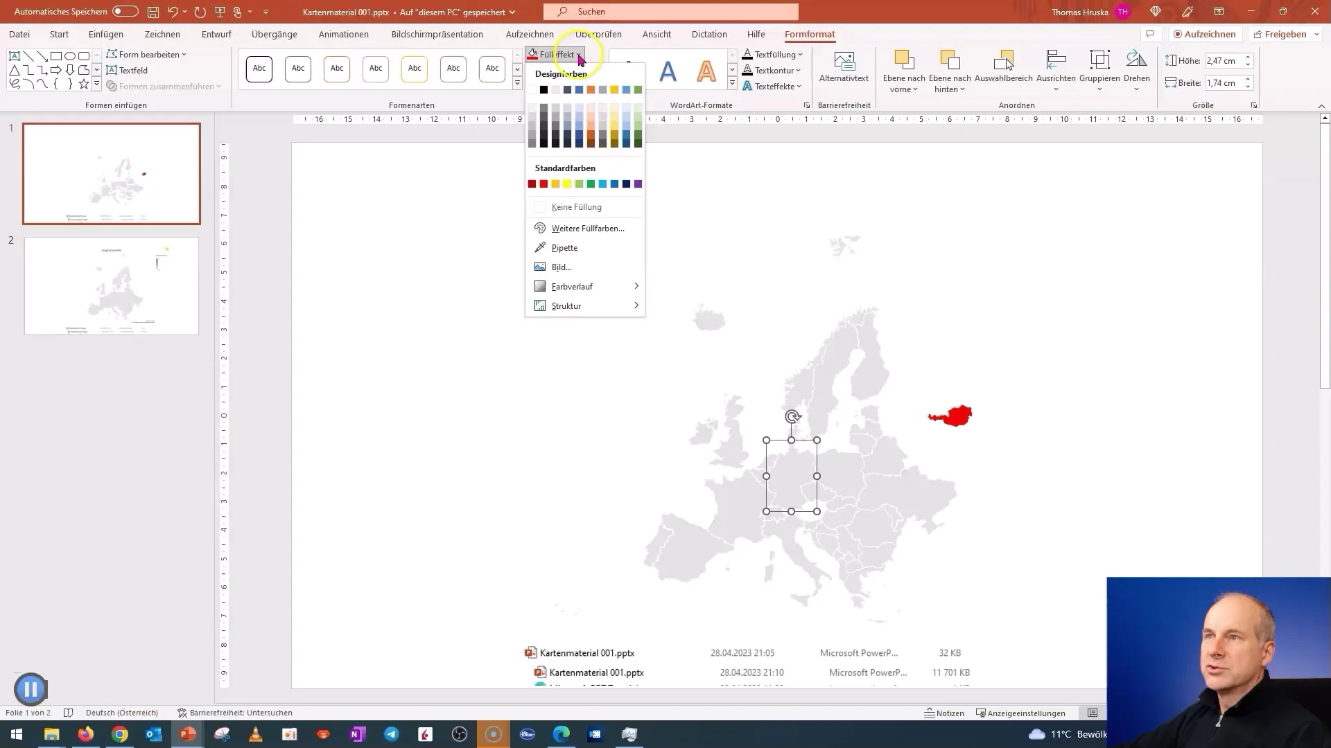
You can now color or customize individual countries as needed for your presentation. For example, you can color Germany in red-white-red or customize another country according to your preferences.
I recommend saving the map regularly while making adjustments to ensure your changes are not lost.
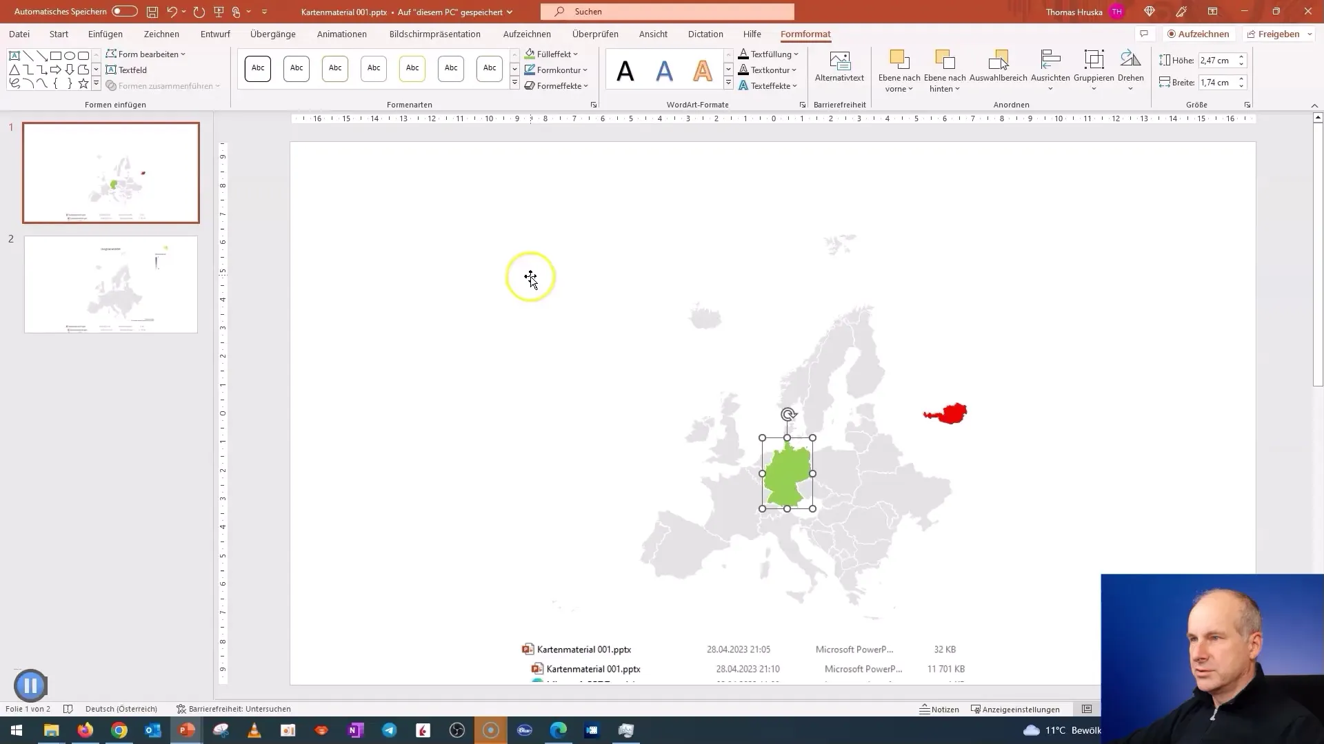
If you look closely, you can select large cities or specific areas and customize them. You also have the option to use specific boundaries for federal states.
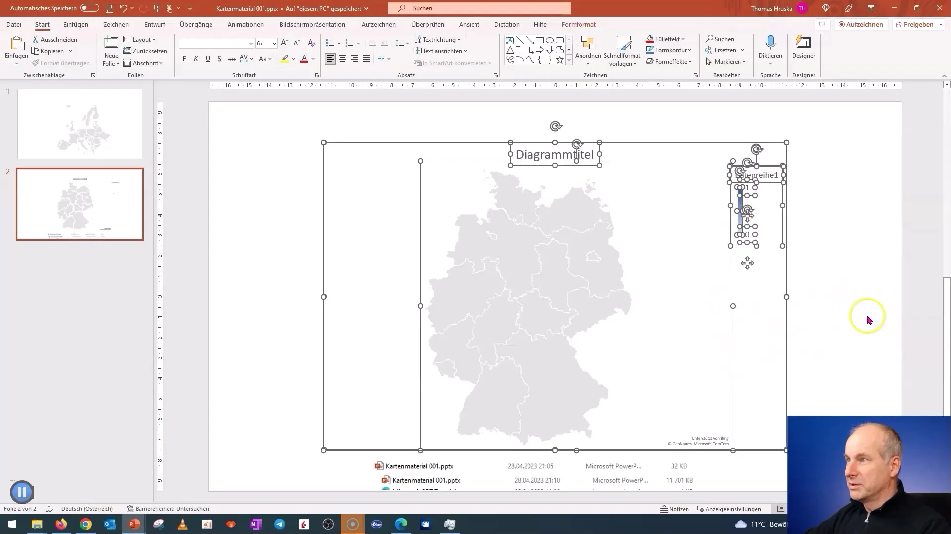
An interesting feature is data editing. You can select countries like Bavaria or Saxony and adjust the map accordingly.
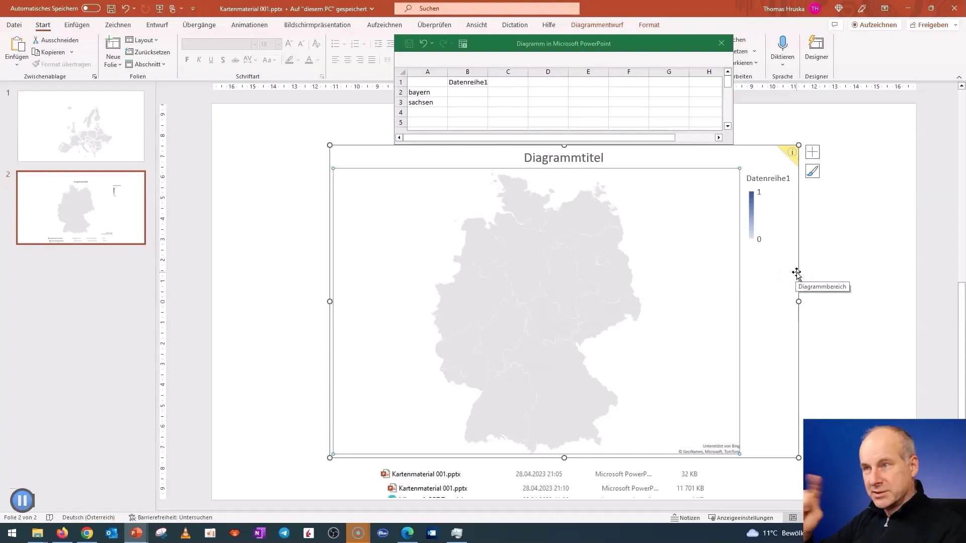
Now you see the detailed map of Germany with all federal states. You can also save this and easily reuse it later.
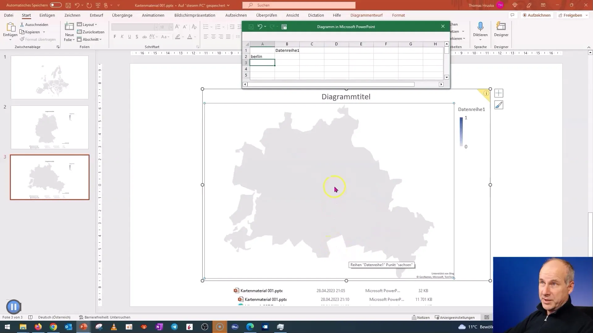
Using the same method, you can also create maps for other regions of the world, so that you can generate comprehensive map material for your presentations.
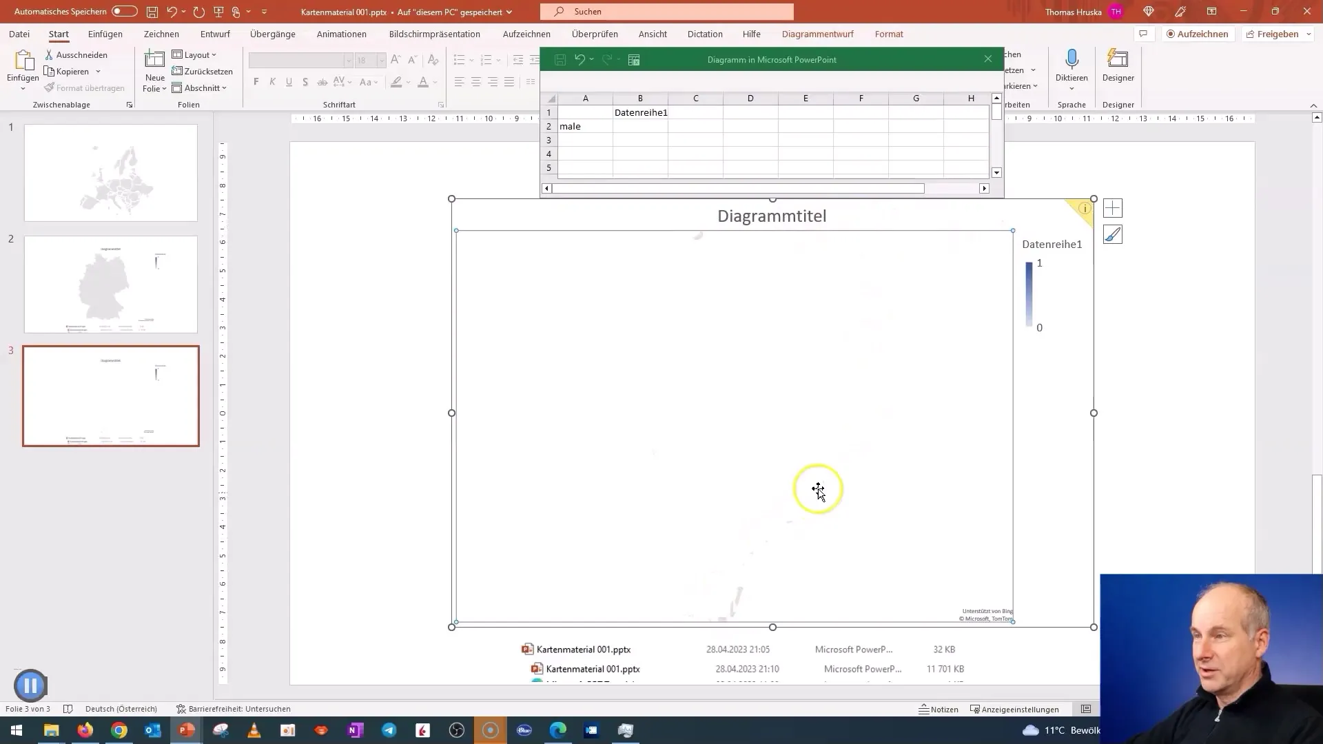
You can even insert SVG graphics (vector graphic).
If you save all countries in gray, you will be able to create a uniform and professional layout.
Summary
In this tutorial, you have learned how to easily and efficiently extract map material from PowerPoint. You can create maps for different regions and countries and customize the content individually. Use the described tricks and techniques to make your presentations visually appealing and informative.
Frequently Asked Questions
How can I save the map material?You can save the map as an image (SVG) and simply use it in your presentation.
Do I need special software to create the map material?No, you only need PowerPoint 2019 or a newer version.
Can I edit the map material?Yes, you can make color changes and adjust specific areas.
Are there restrictions with older versions of PowerPoint?Yes, the map toolkit is not available in versions older than 2019.
Where can I find the downloaded map material?The map material is usually stored in the presentation file and can be edited directly there.


