In this tutorial, I'll show you how to use the Map Module in Lightroom Classic CC to geotag your images. The Map Module's main purpose is to display the locations of your photos that are tagged with GPS data. It is a useful tool to get an overview of the places you've traveled to and to organize your shots. Even if you don't use the GPS feature often, the module offers some interesting possibilities that you might benefit from.
Key Insights: The Map Module allows you to view images tagged with GPS data on a map and manually assign photos to specific locations. With the simple drag-and-drop function, you can assign multiple photos to a GPS position at once. By using the search function, you can search for photos taken at specific locations during your travels.
Step-by-Step Guide
1. Accessing the Map Module
First, you need to open the Map Module. You can do this in Lightroom Classic CC through the menu bar or by clicking on the map icon. Once you have opened the module, you will see a world map in front of you with your GPS-tagged photos displayed on it.

2. Automatic GPS Tagging
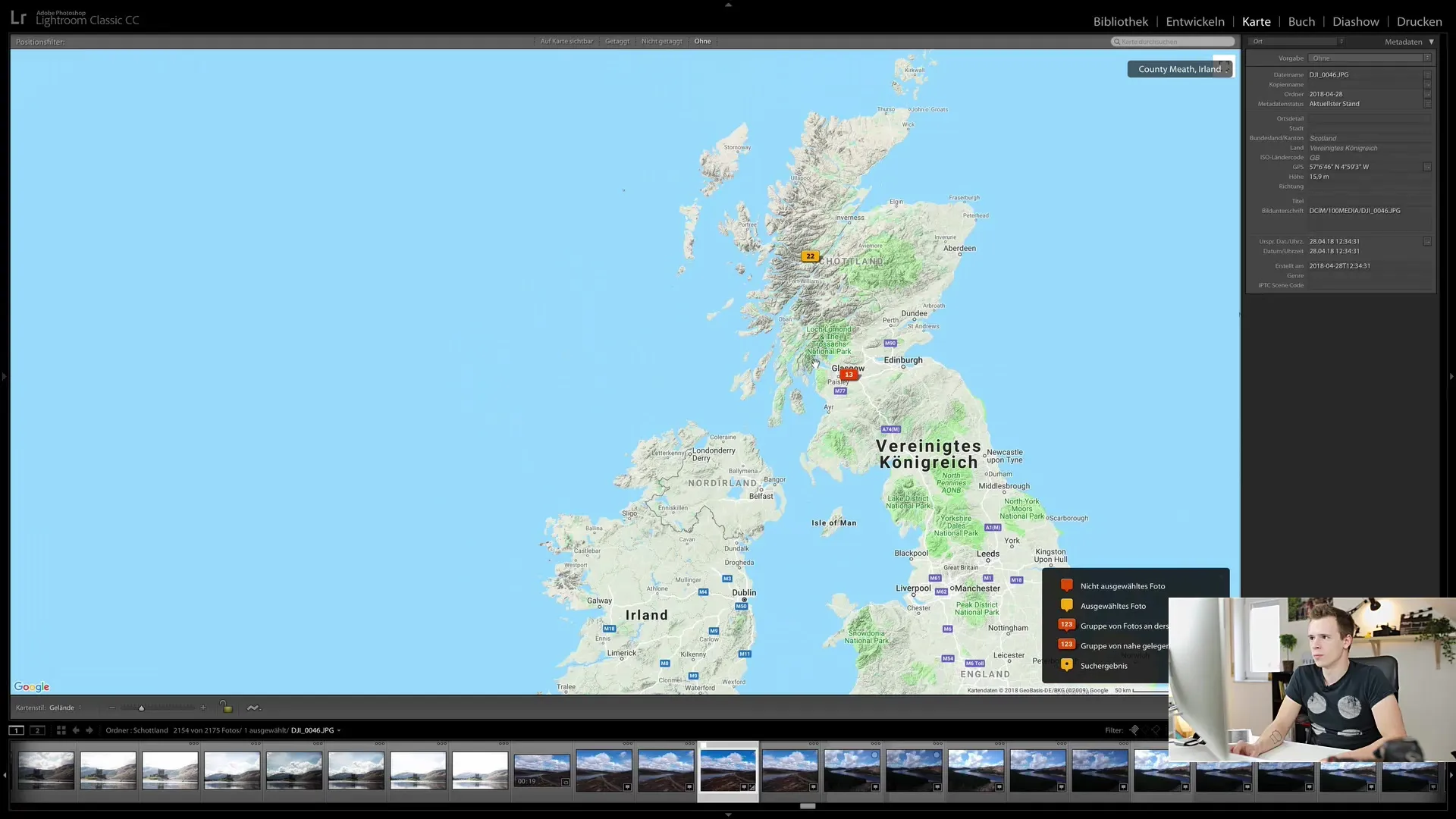
Photos taken with a camera or drone that store GPS information will be automatically displayed at the correct position on the map. An easy way to check this is by clicking on an image in your library and seeing where it appears on the map. For example, you can see pictures from Scotland assigned to a specific loch.

3. Manually Assigning Images
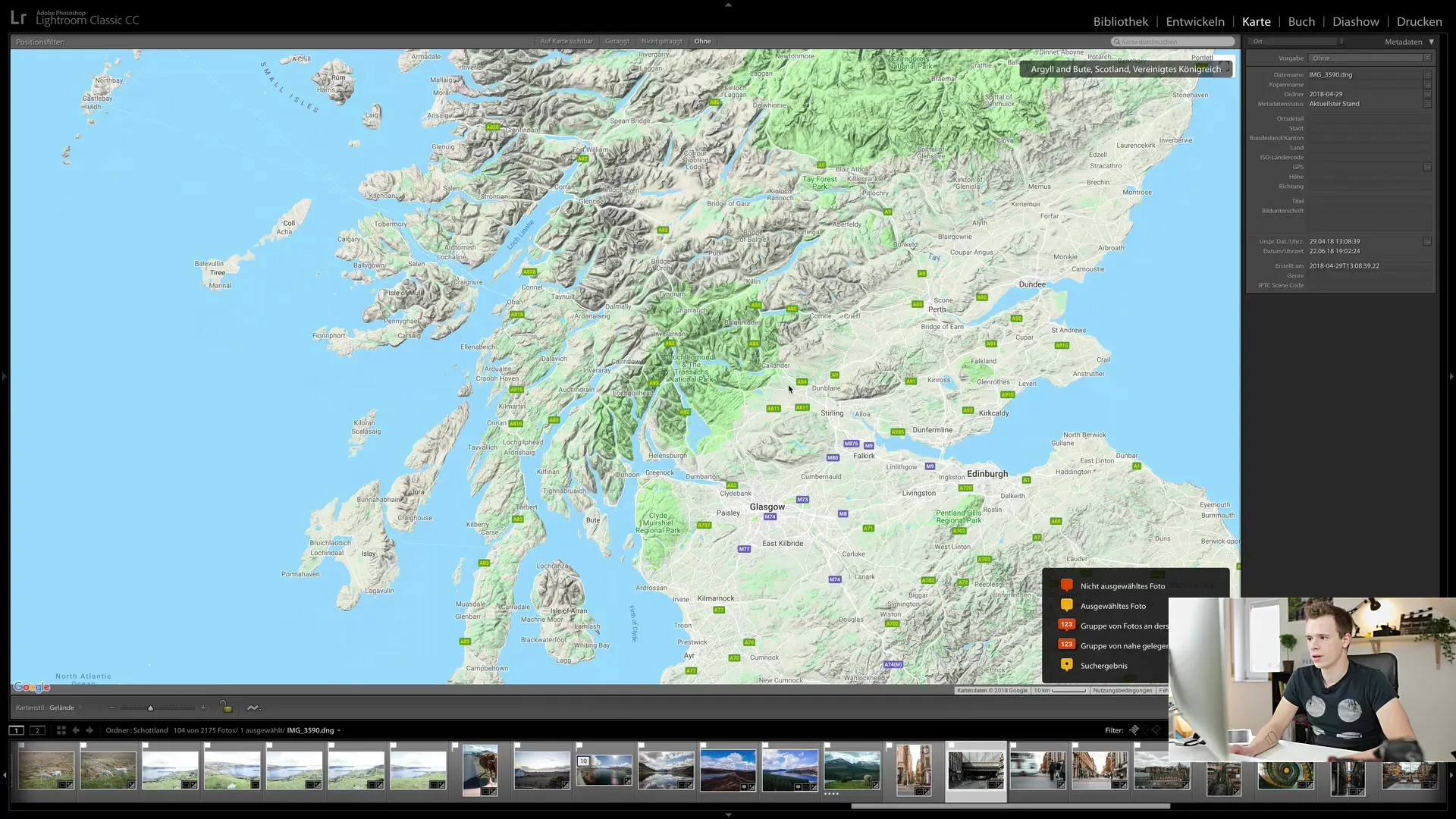
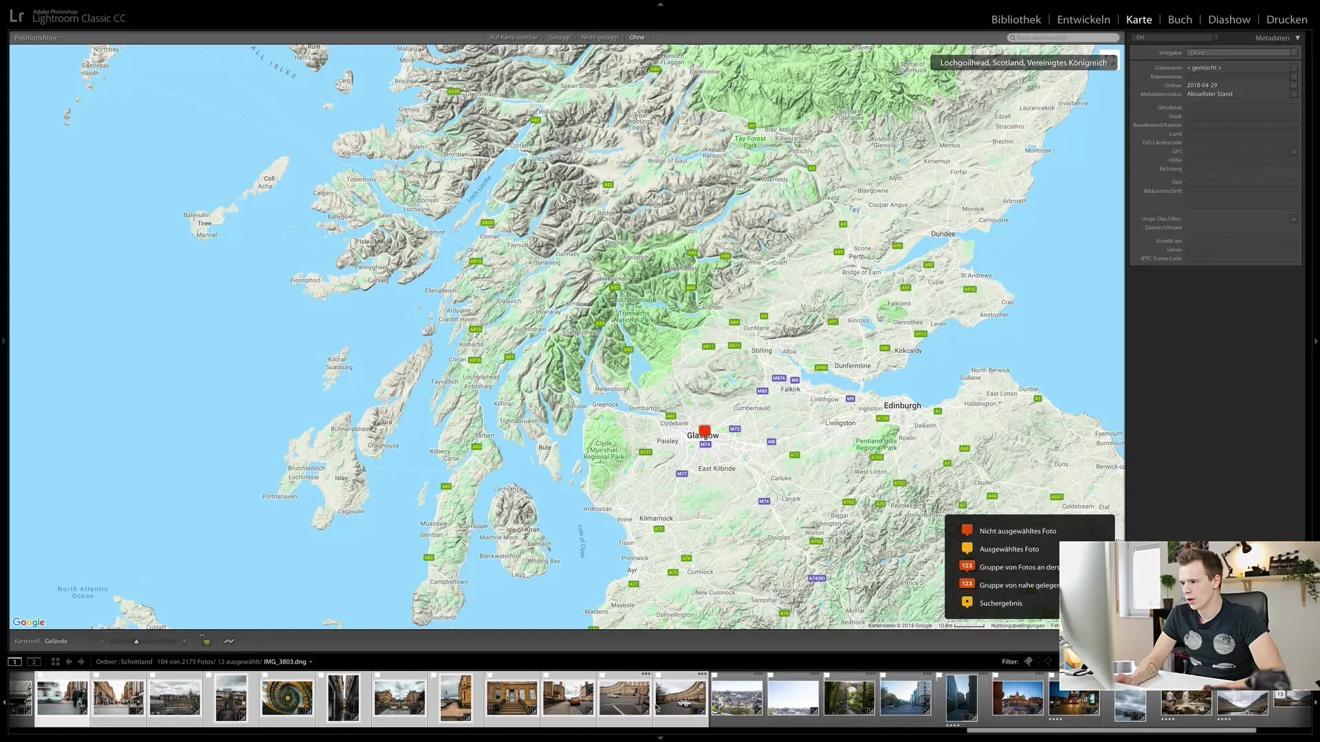
If you have images that do not contain GPS data, you can manually assign them to specific locations. To do this, drag the map to the desired location – for example, to Glasgow. Once you've found the desired location, simply drag the image onto the map to tag it with GPS coordinates. These coordinates will then be stored in the photo's metadata.
4. Assigning Multiple Images Simultaneously
You can also assign multiple images simultaneously. To do this, select the images you want to tag in the filmstrip and drag them to the corresponding location on the map. All selected images will then be tagged with the same GPS tag. This method is particularly efficient when many photos are from the same location.
5. Using the Search Function
If you are looking for specific locations, you can use the search function. Simply enter the name of the place, for example, "Glasgow," and the map will lead you directly there. At the same time, you will get an overview of all photos taken at that location. This works similar to Google Maps, but you will see your own pictures.

6. Filtering Options and Zooming
The Map Module also allows you to filter the overview and zoom in further to get more details about the locations of your images. You can switch between different views to better examine the photos and get a comprehensive overview.
7. Showing or Hiding the Map
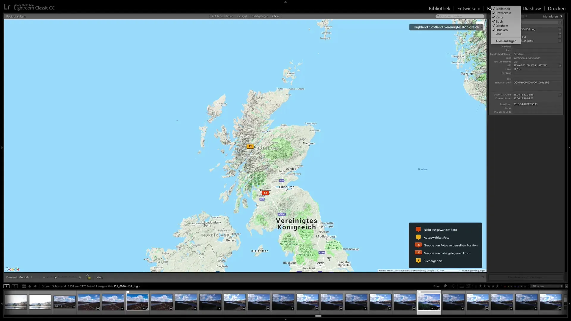
If you don't need the Map Module for your work, you can simply hide it. Right-click on the map and choose the option to hide the map. This can be useful if you don't use the feature often or don't see any added value in it. Personally, I rarely use the Map Module and have it hidden on my end.
Summary
In the Map Module of Lightroom Classic CC, you can geotag your images based on their GPS data. This can be done automatically for images with GPS information or manually for images lacking GPS data. You benefit from a user-friendly interface that allows you to tag images precisely and search for photographic locations.
Frequently Asked Questions
What is the Map Module in Lightroom Classic CC?The Map Module allows you to display the geographic location of images and assign them GPS data.
How can I assign images to a specific location?You can manually drag images onto the map or automatically add GPS data.
Can I tag multiple images at once?Yes, you can select multiple images and then tag them with a GPS tag by dragging them to the desired location.
How do I use the search function in the Map Module?Enter the desired location name in the search bar, and you will be taken directly to that location on the map. All photos at that location will be displayed.
Can I hide the Map Module?Yes, by right-clicking on the map and selecting the option to hide, you can deactivate the module.


